Sun. Weather forecast says that tomorrow and the day after will be cloudy but no rain. That means 3-day hike.
Porridge and coffee in the communal kitchen. Packing takes time when everything has been organized into a mess in the car.
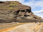
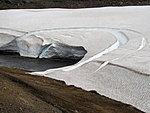
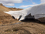
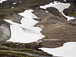
Out of the accomodation's territory and I start to wonder over the map. This trail is not very marked. There is a free-hand map with some waypoints and I could take a picture of these yesterday evening in the dining room. And there's my topographic map where I drew approximately where the route goes. It starts along a jeep track but I miss the turning point and go then over scree, moss and mountain sides about that direction where I should meet another jeep track. Glacier on the left, mountains on the right. Some rivers to cross in canyons, some snow. Two jeeps with huge tires.
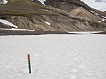
Leave the jeep track, see some footprints. Ford a river and scramble to get over a slope with loose scree. Rest in windless spot and save a few waypoints info gps. The pass I'm supposed to cross is the one I see. On the pass is a stick as trailmark and gps also knows about a trail here. Maybe it's some other trail. Check and no, it goes near to where the waypoint for first camping is. Continue following the trail and meet two Germans. They look clean and neat although they have had two days of rain and wind. They walk the same route in the opposite direction and give recommendations about camping sites. Their first and my last day they walked through mountains though but it could be easier since the way around is not marked.
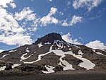
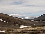
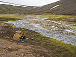
Picnic and long walk along a mountain side. More clouds and more colors on the mountains. The hut that was mentioned is visible as a dot in the distance. Ford a river by the hut and after 700 meters there should be a comfortable place to camp. Find a spot with some shelter from wind and next to a stream. No problem with stones for securing the tent. No problem with water either. It's only 15:30 but 17 km is about one third of the way and to continue with next stretch today would mean ending very late. Good time for reading. The landscape in Hornstrandir was more demanding.
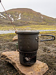
View from the tent on water and the surrounding mountains. Darker and darker clouds climb into sky. It starts to rain after I've finished boiling water for dinner. Norwegians didn't say it would rain today. We'll see what happens tomorrow. Water music for going to sleep. Rain tapping on tent and stream gurgling.
Add a comment