The
snow line has lowered overnight.
Time
to start thinking about going home.
But
first I go west. On Streymoy there’s a trail that’s called “Fyri vestan” for which I found three different GPS tracks online. Saved them all. Should be
first row views from the trail. And what views.
The
trail starts somewhere in Skeiðsskarð and it goes from there to Norðradalur. I
leave the car in a bigger passing spot next to a small road where the sign in
the beginning says that this is a narrow mountain road and everyone should
drive carefully. I would not like to drive on it for long anyway. In addition
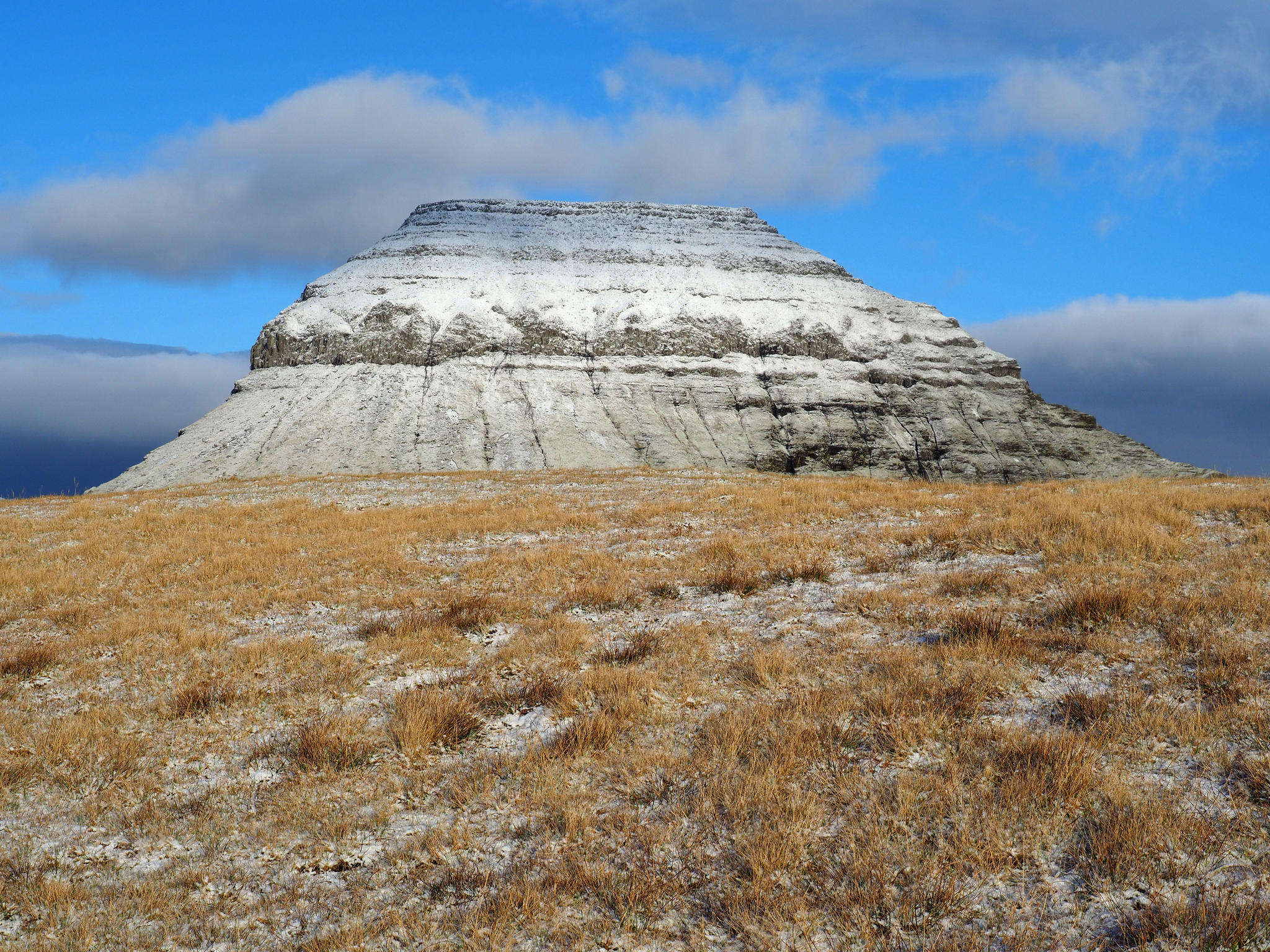
of being narrow it is also covered in snow. It leads up to Sornfell where big white
bulbs mark NATO radars.
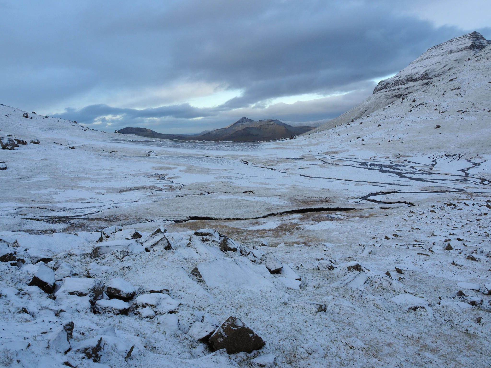
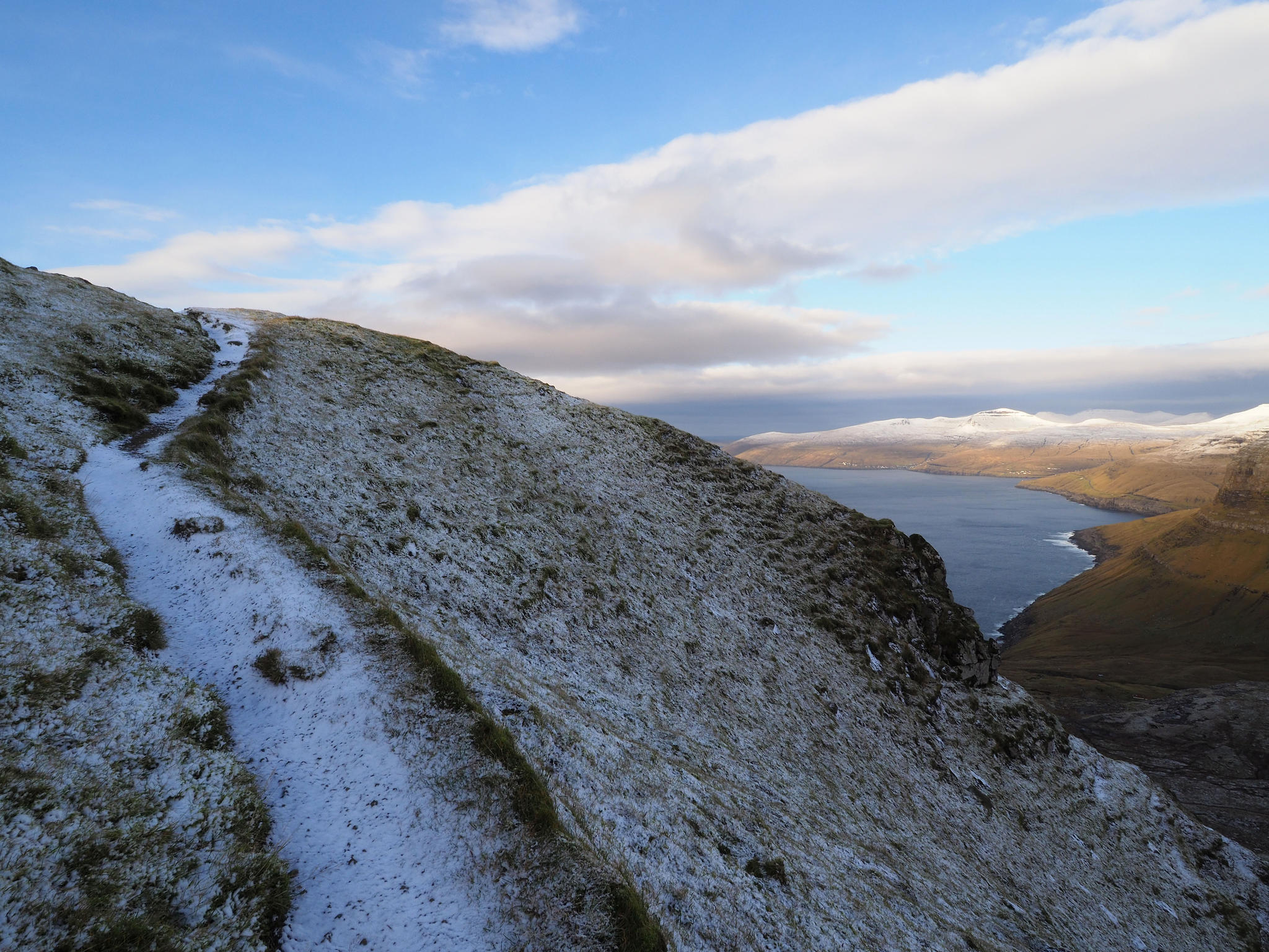
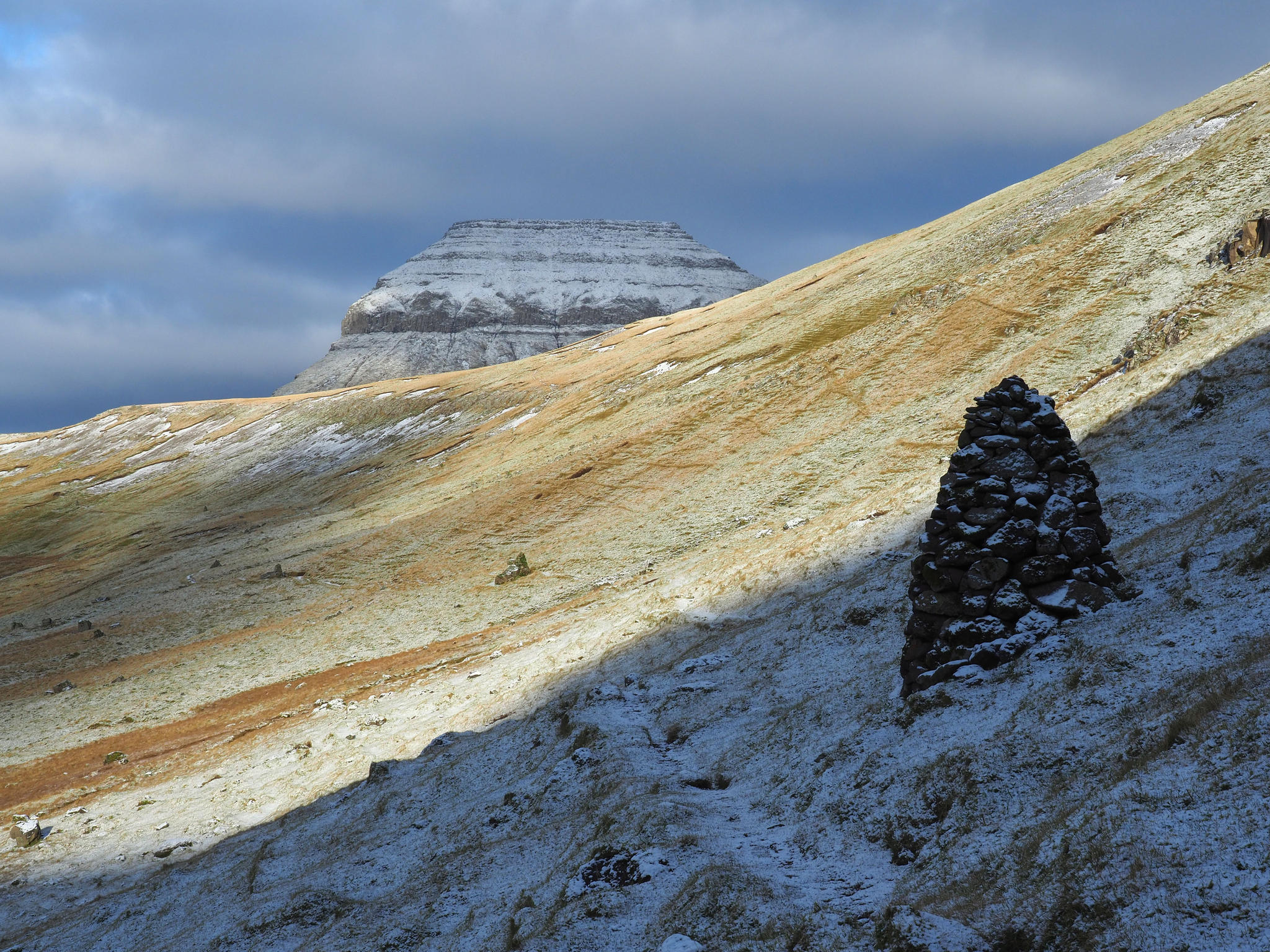
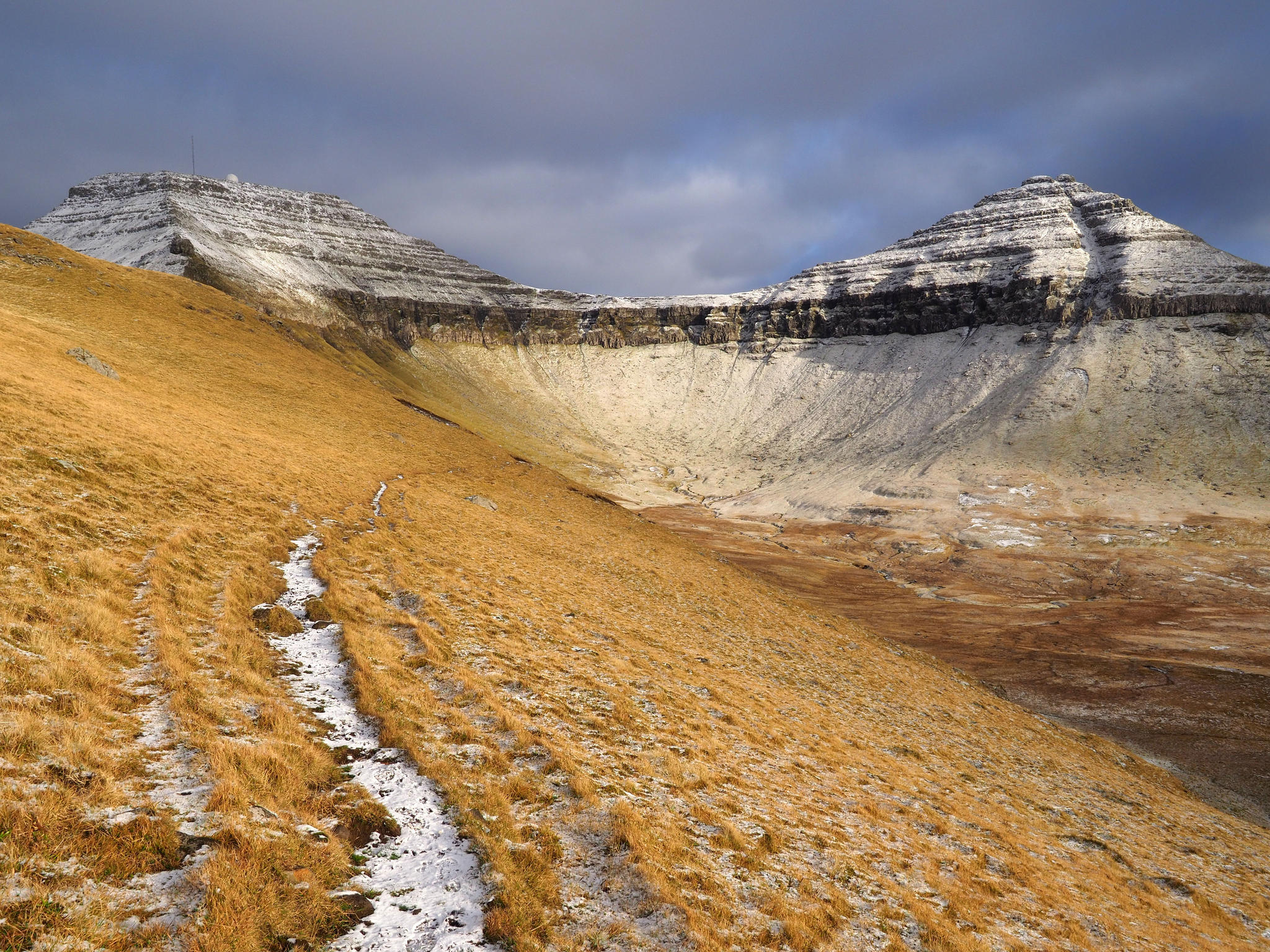
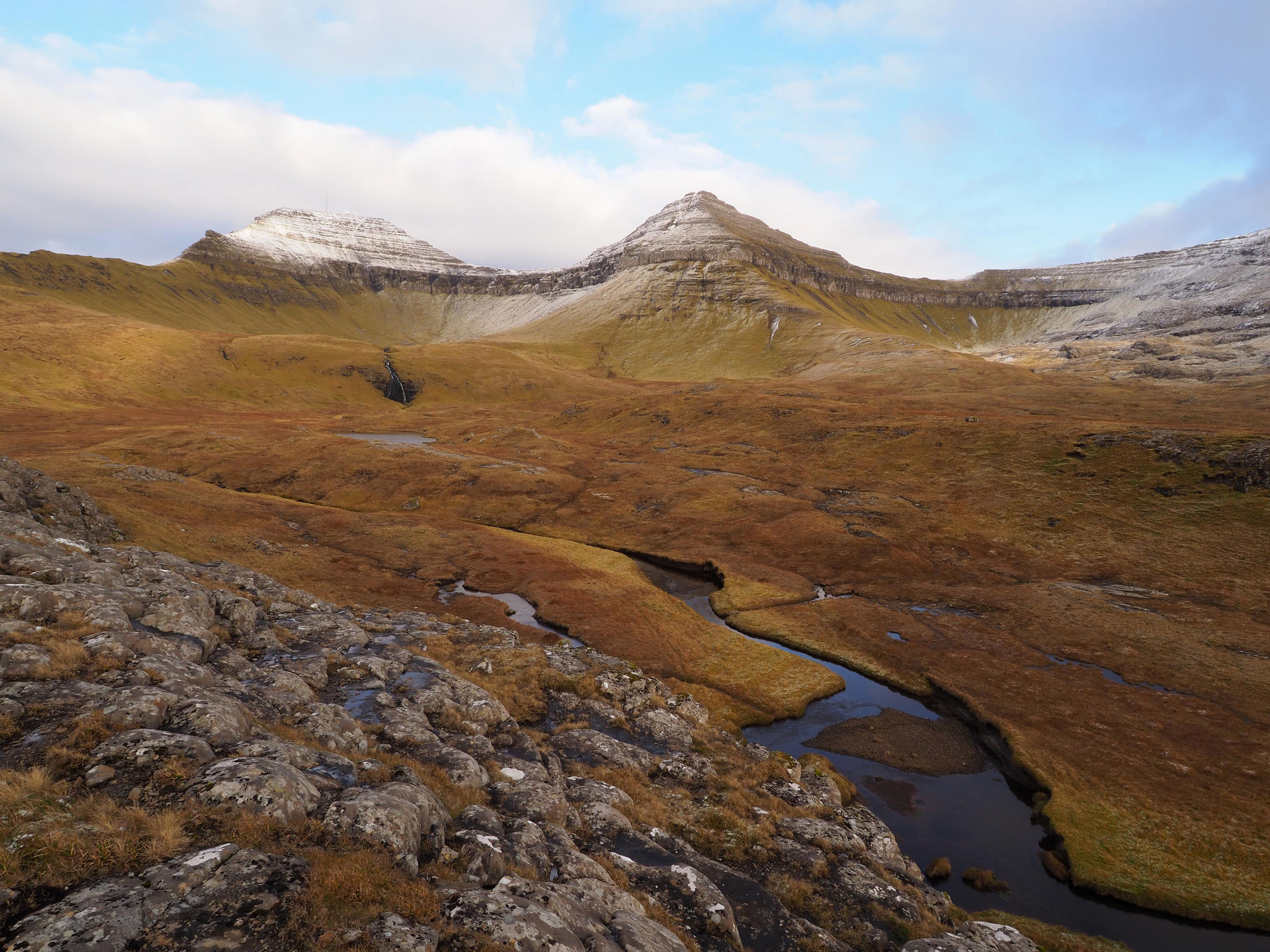
The
trail first goes along an old village road and then climbs up the mountain as a
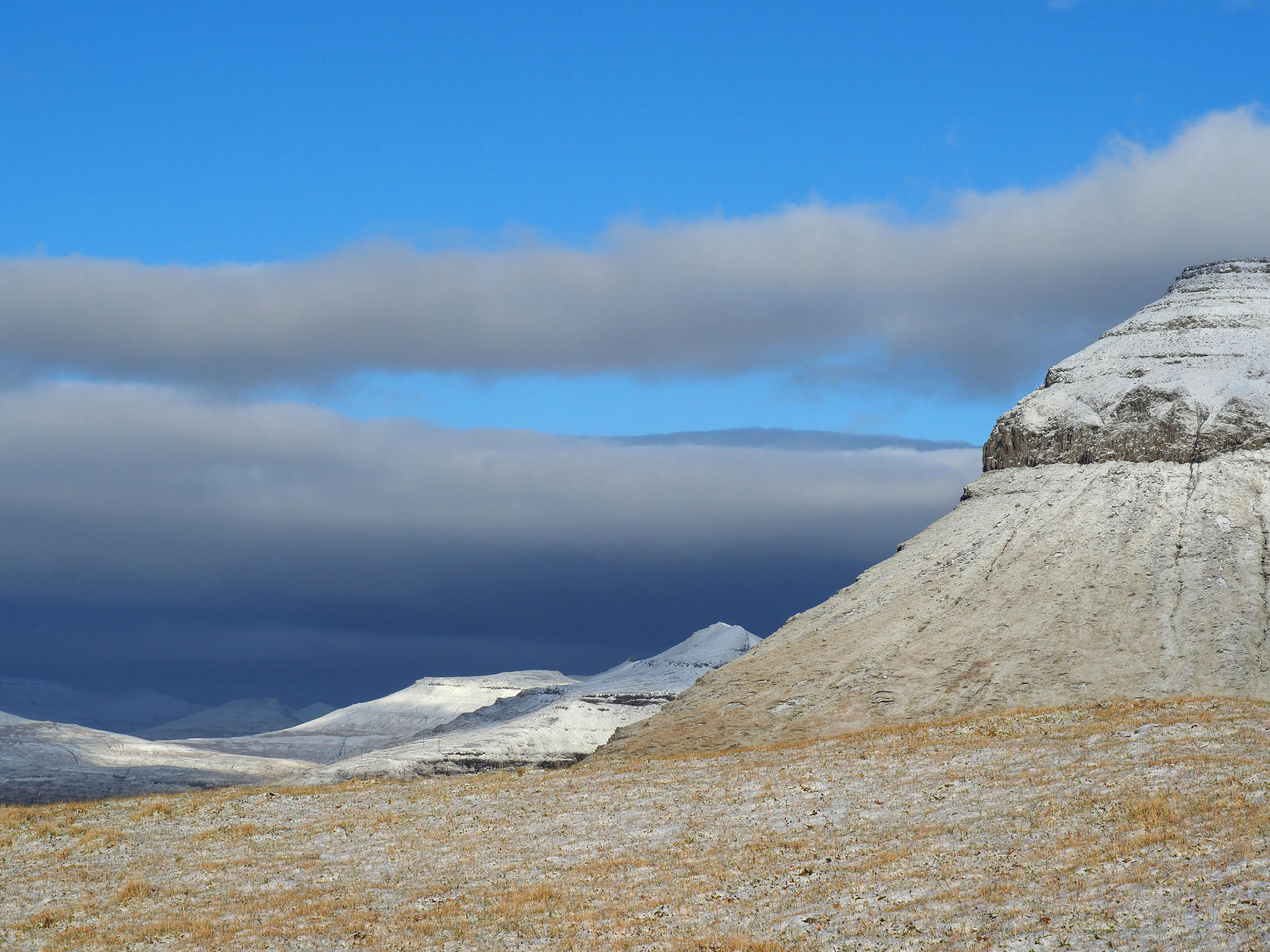
walking path. 676 meters high Skælingur looks at me as an introduction and
later stares me in the back. A thin layer of snow covers everything but lets
the colors shimmer through. Rays of sun fall here and there. A hare has been
here. Although the day is windy it is almost wind-still between the mountains. And
quiet. Only the sea hums somewhere and sheep sing.
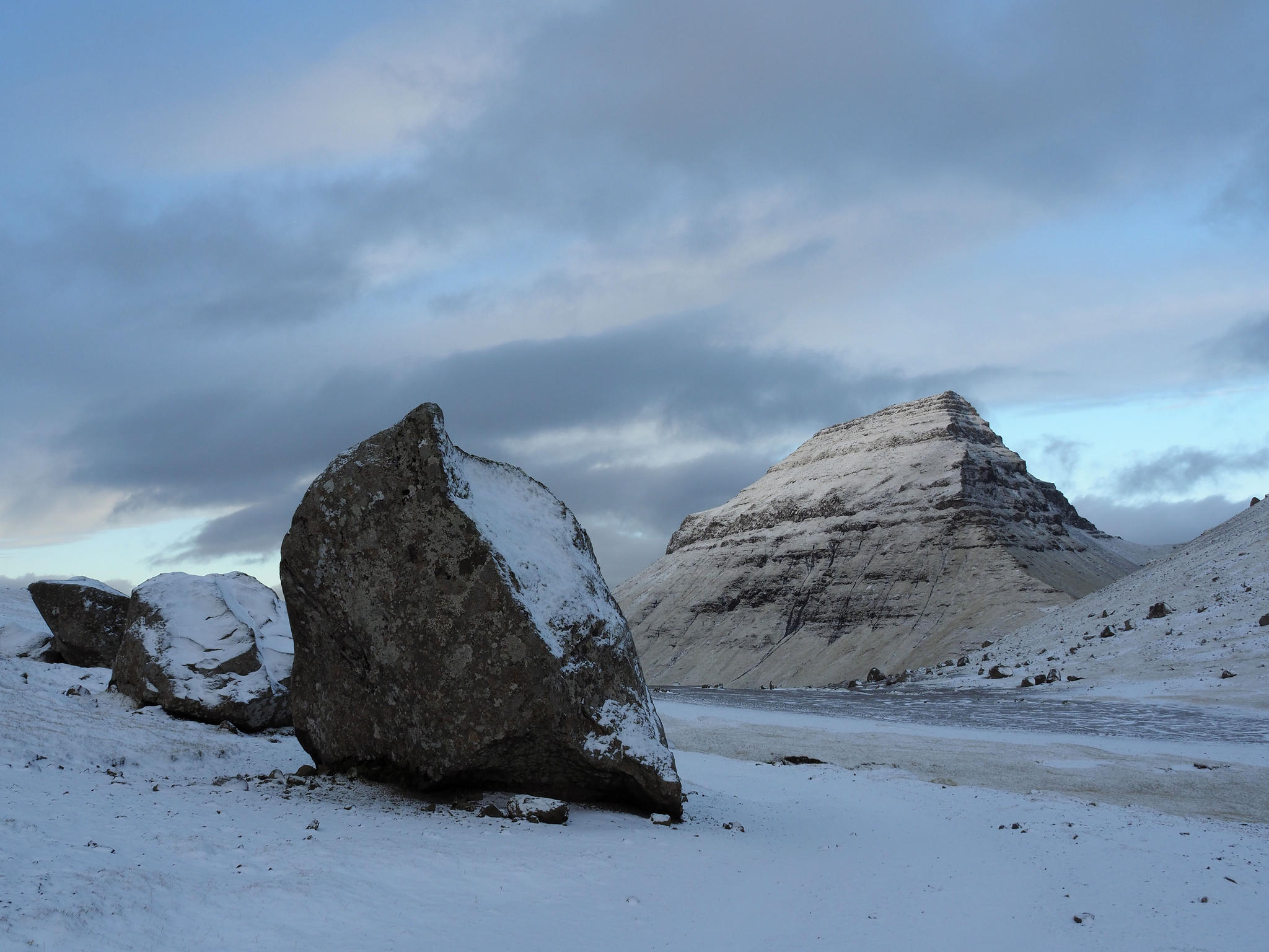
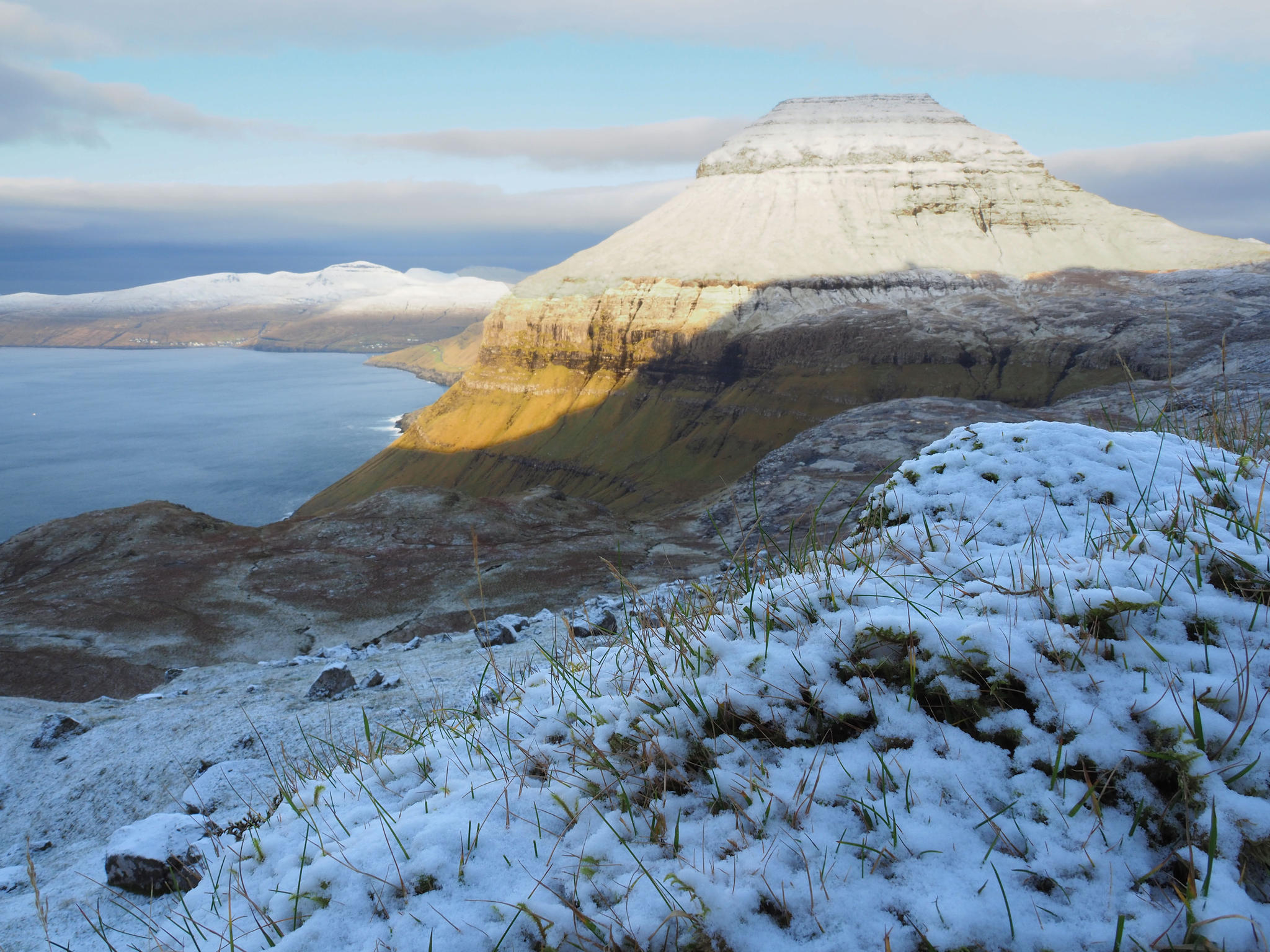
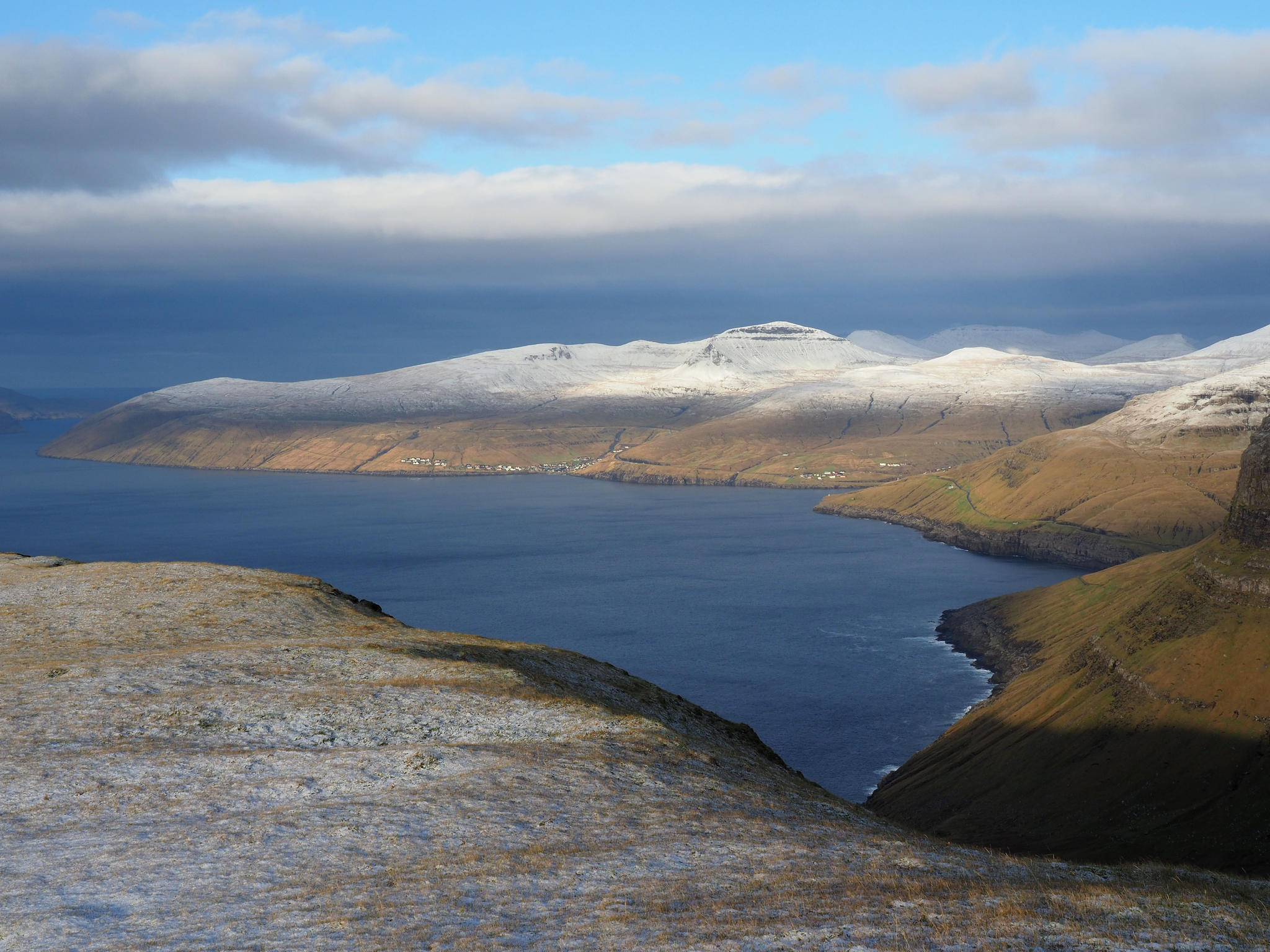
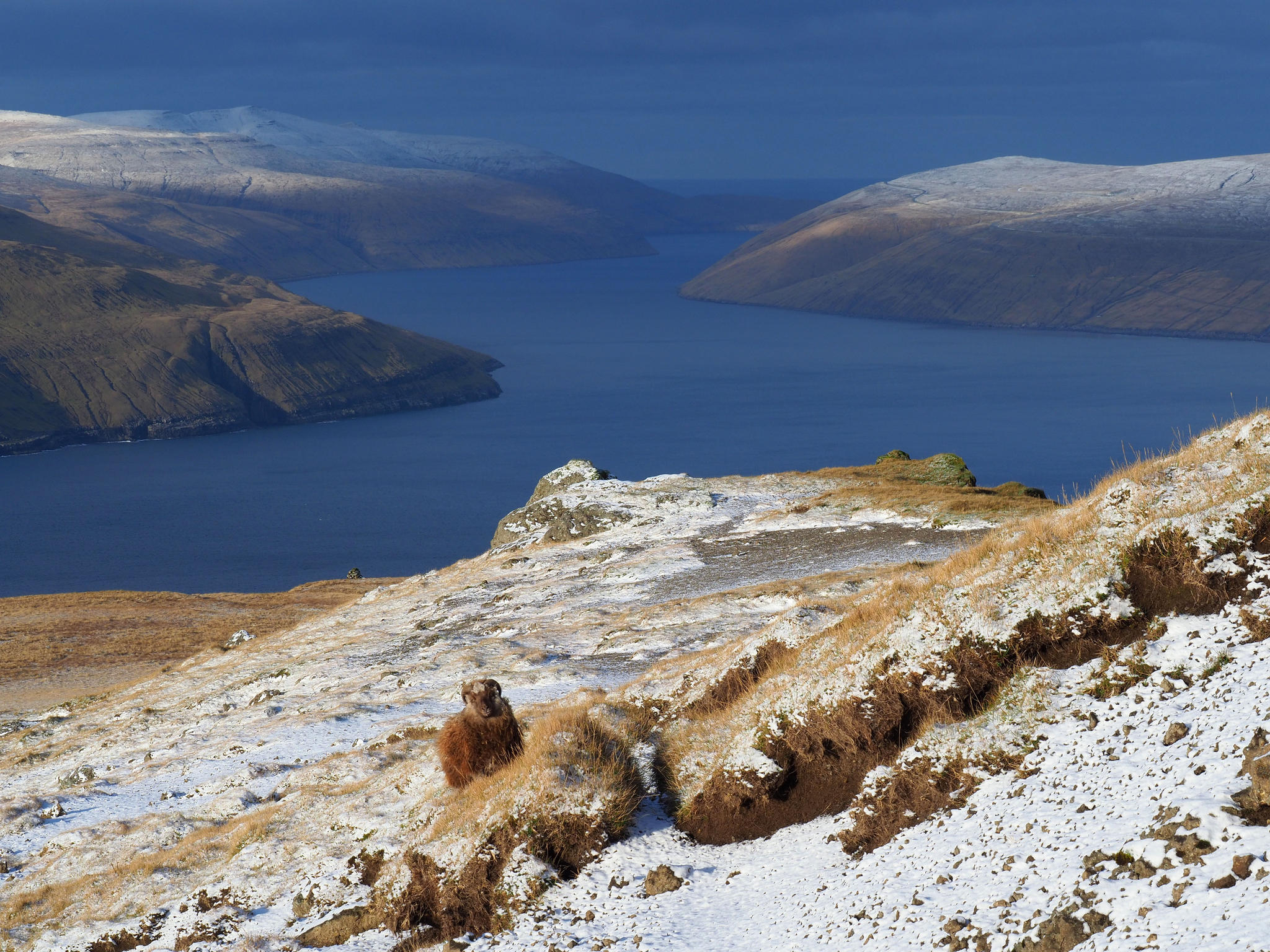
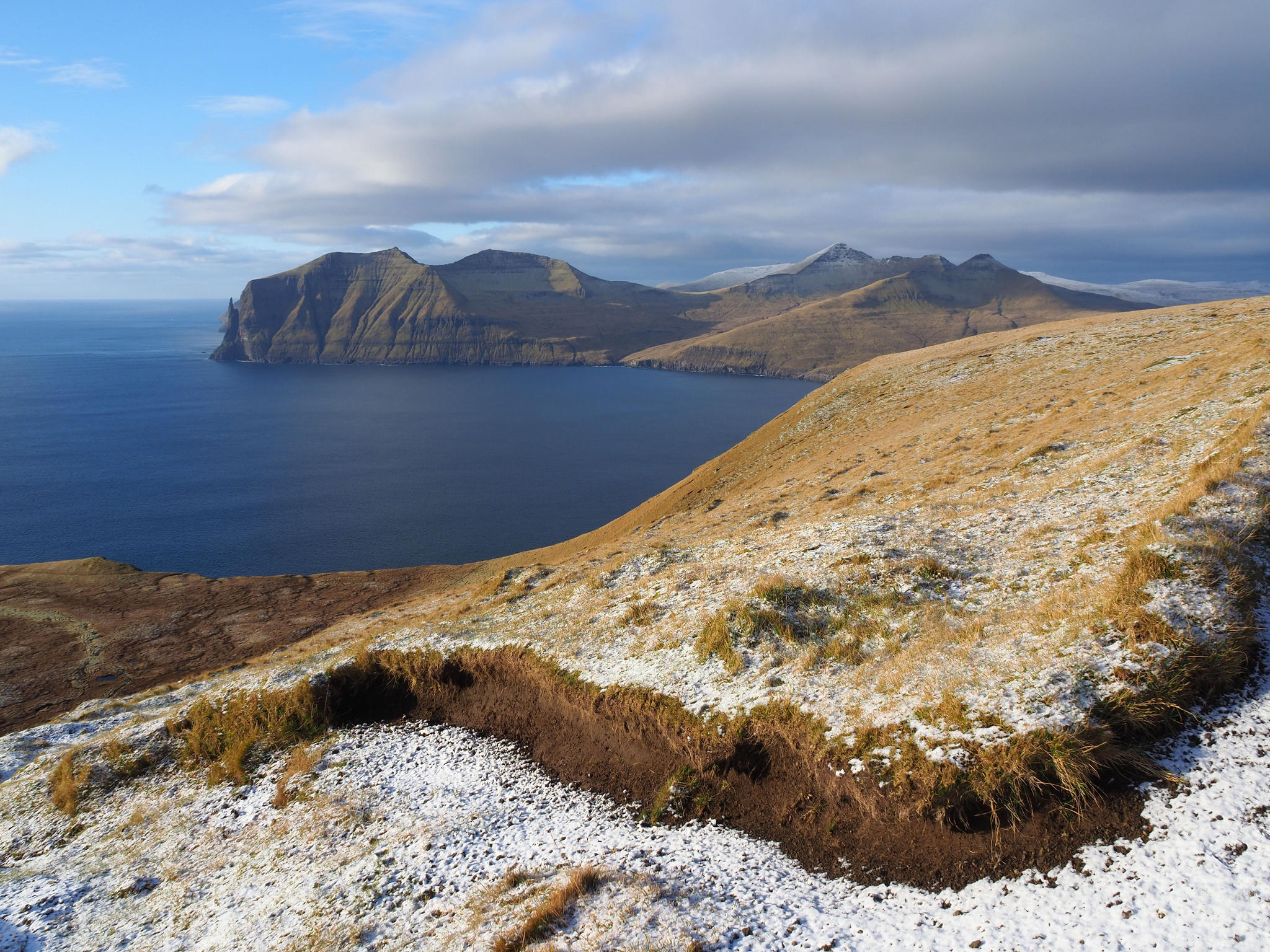
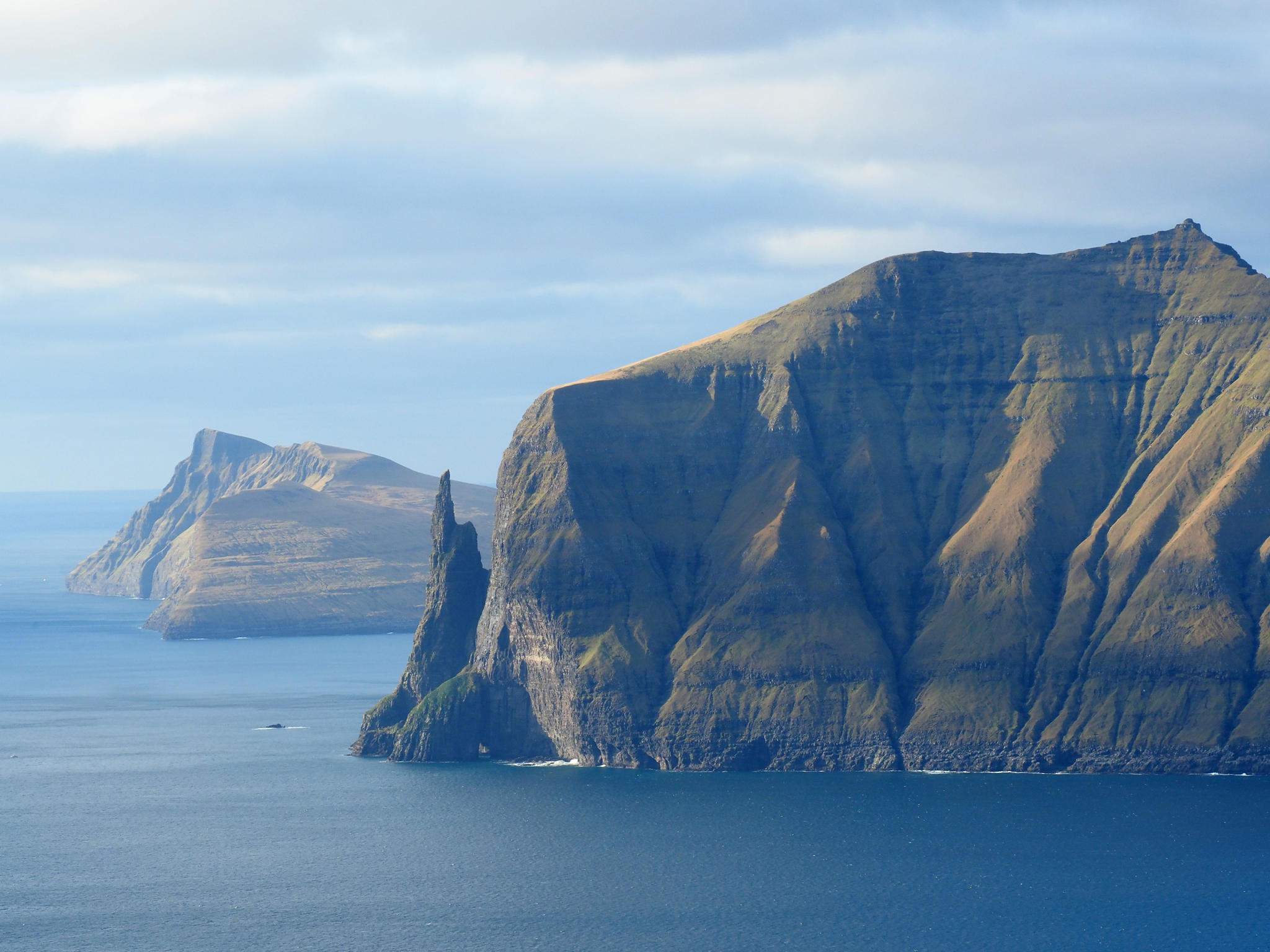
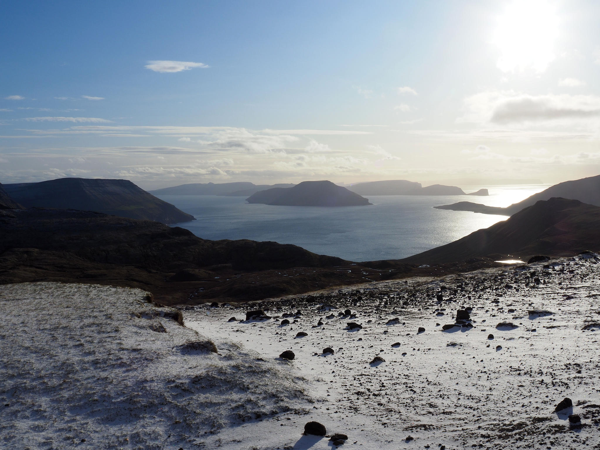
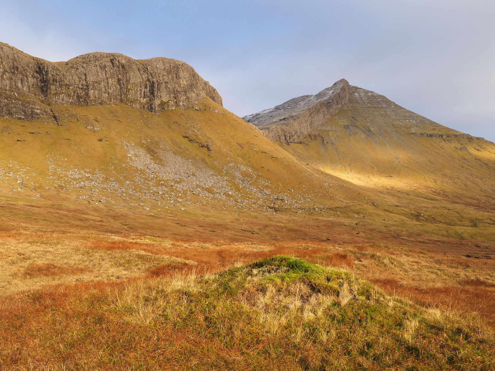
Over
the edge of the mountains a view opens towards Vágar island and a bunch of
snow-clad peaks on Streymoy. Attached to Vágar is the finger of a troll-woman.
Again someone who wanted to haul the islands away but fell into water so that
her hand still grabs Vágar. The island Koltur is supposed to be the back of her
head. Eleven people have climbed the finger and some have died trying.
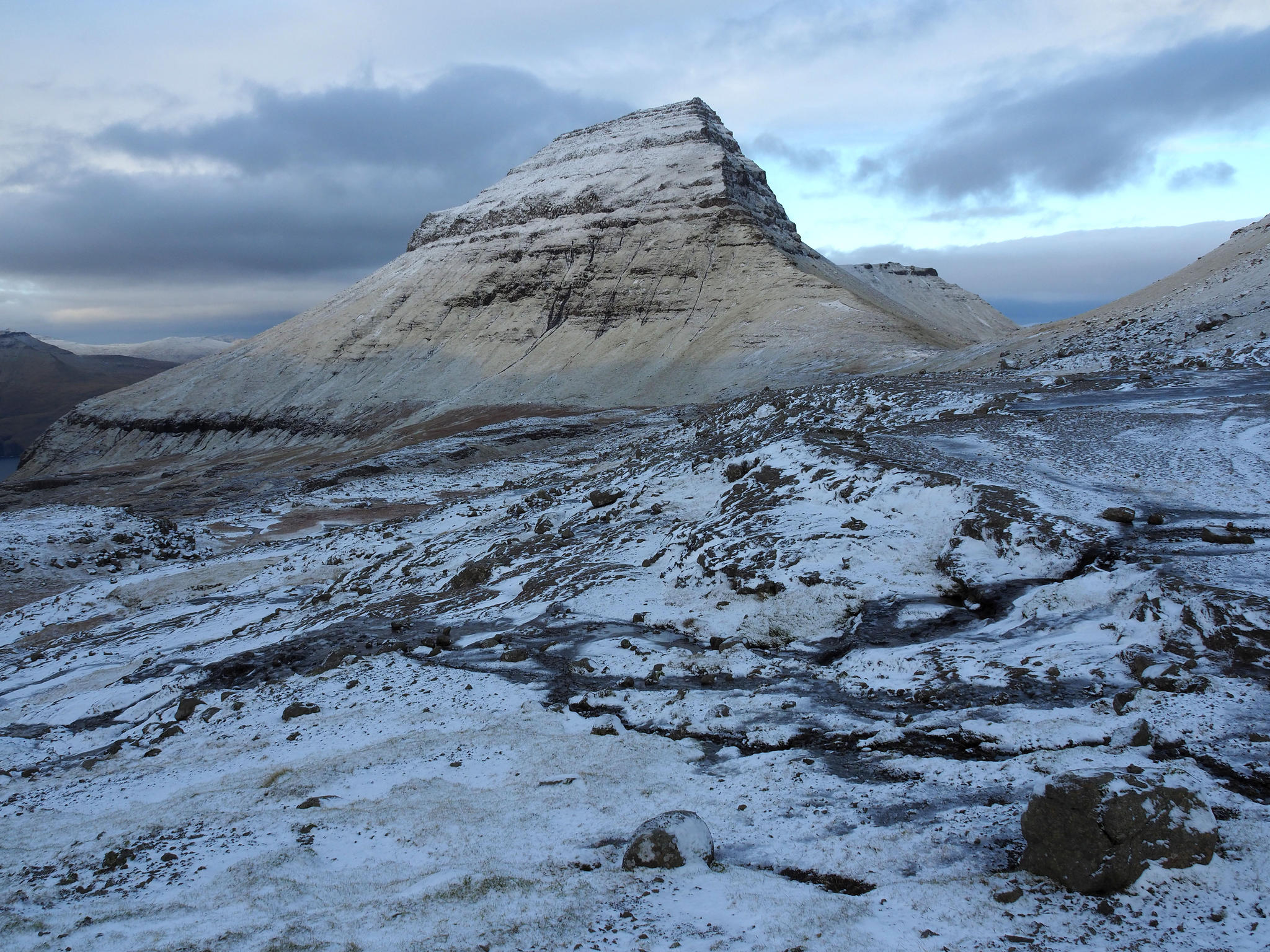
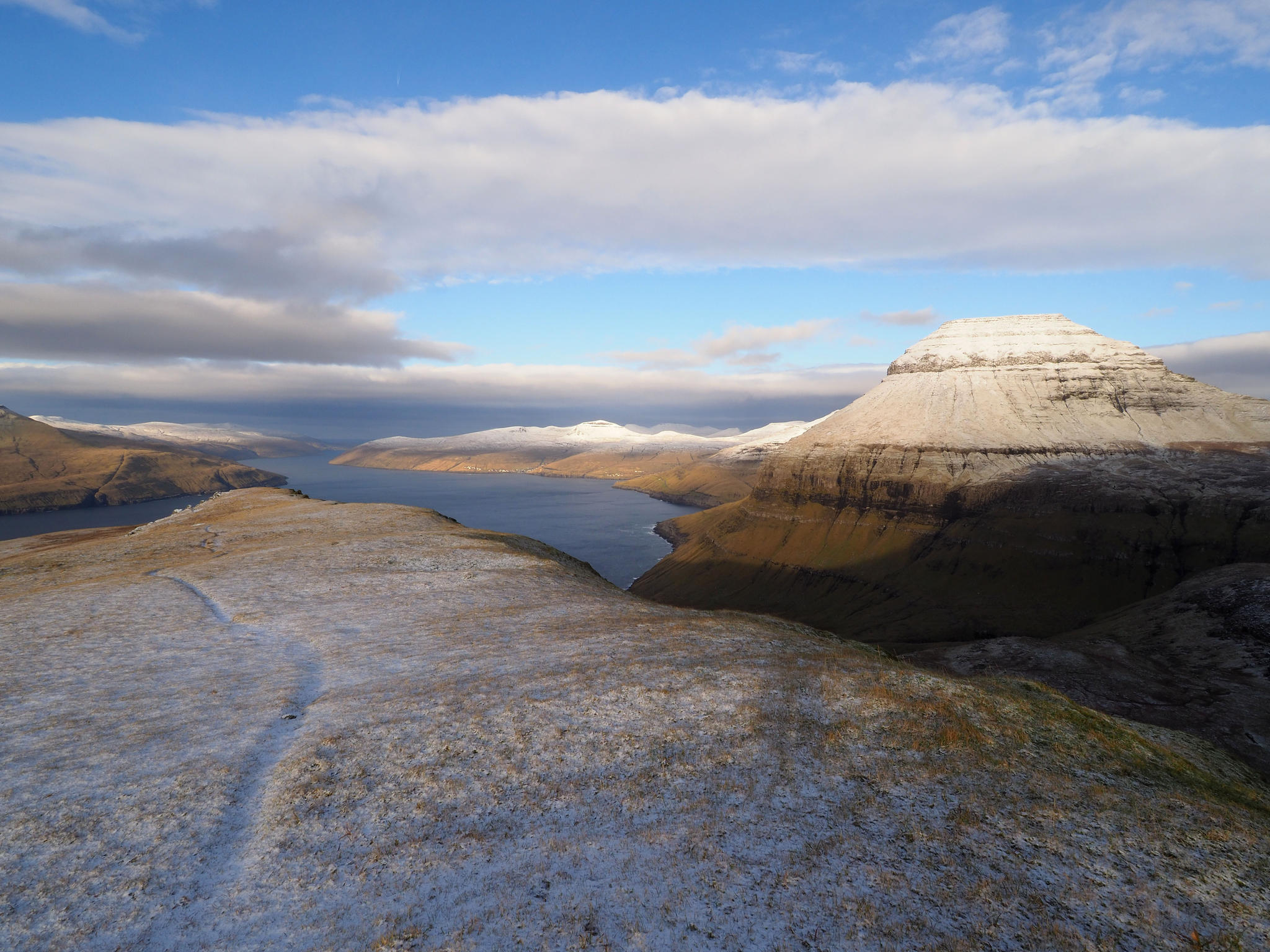
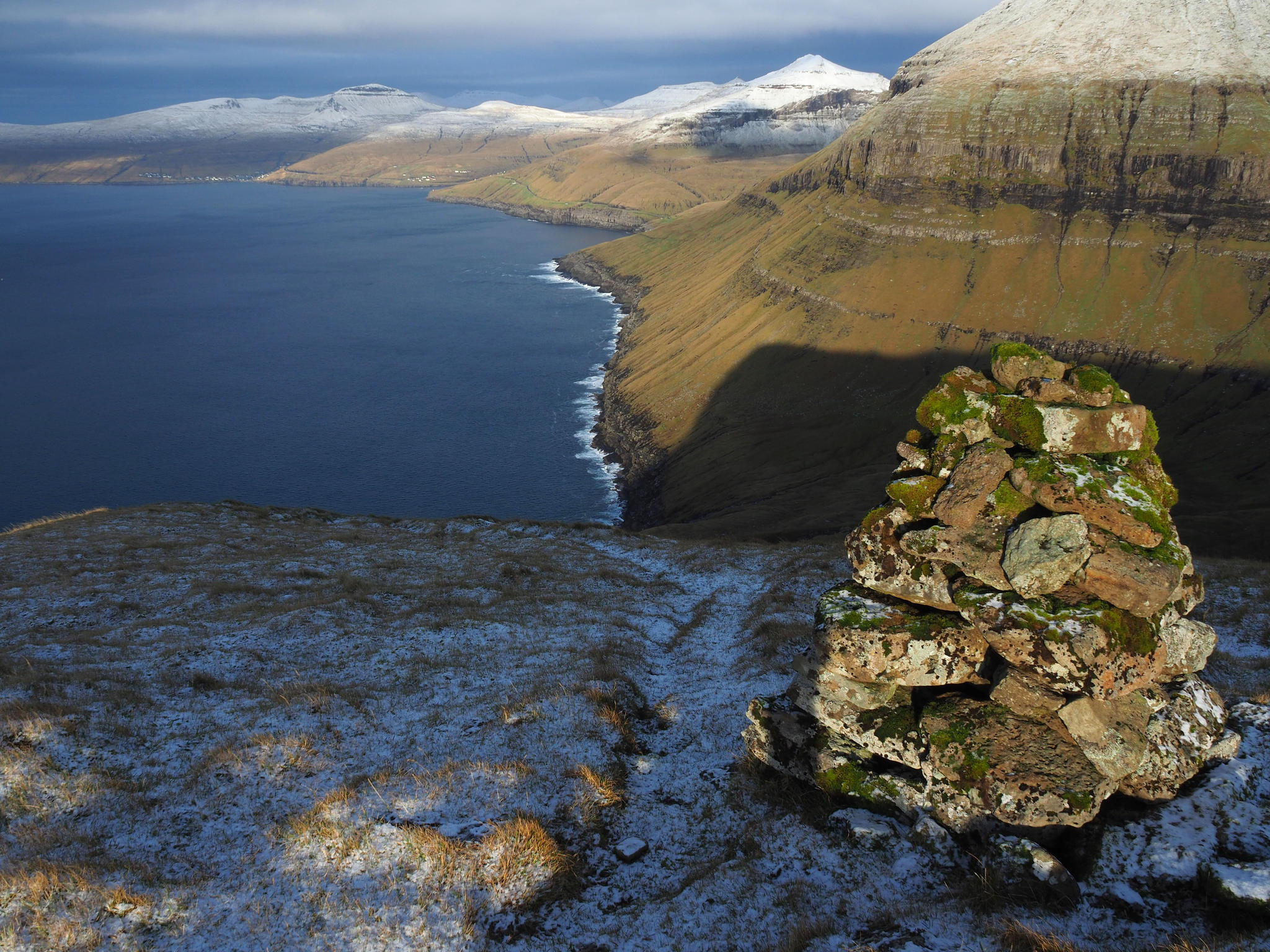
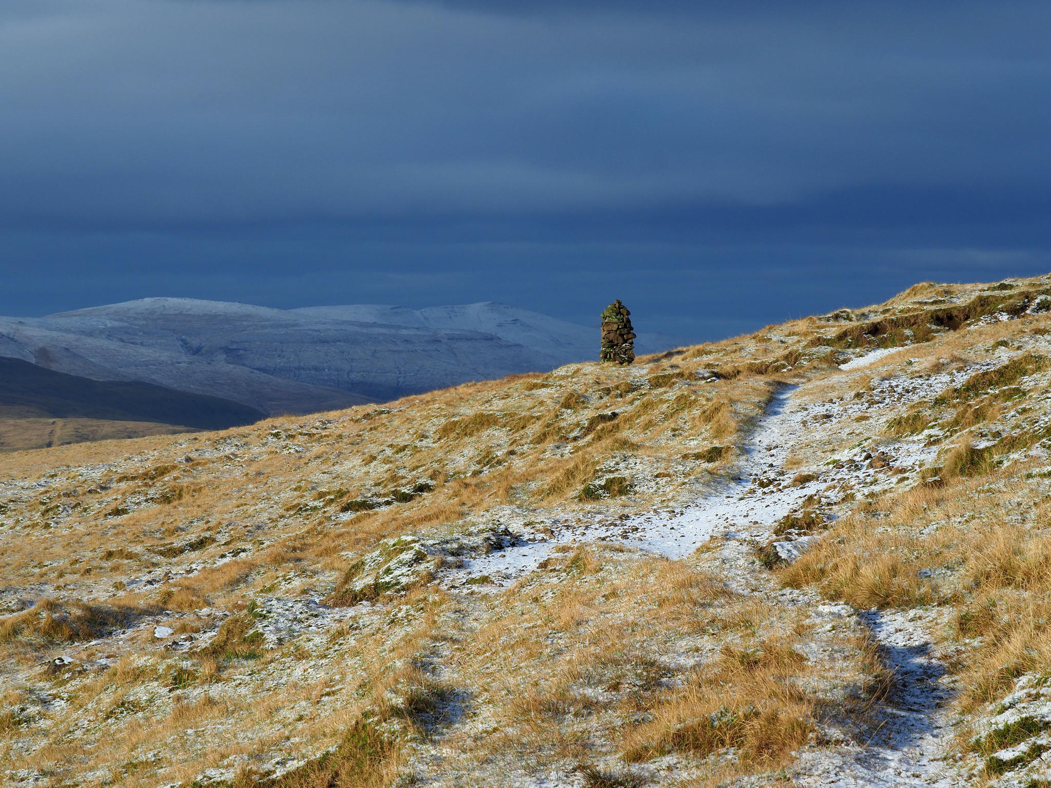
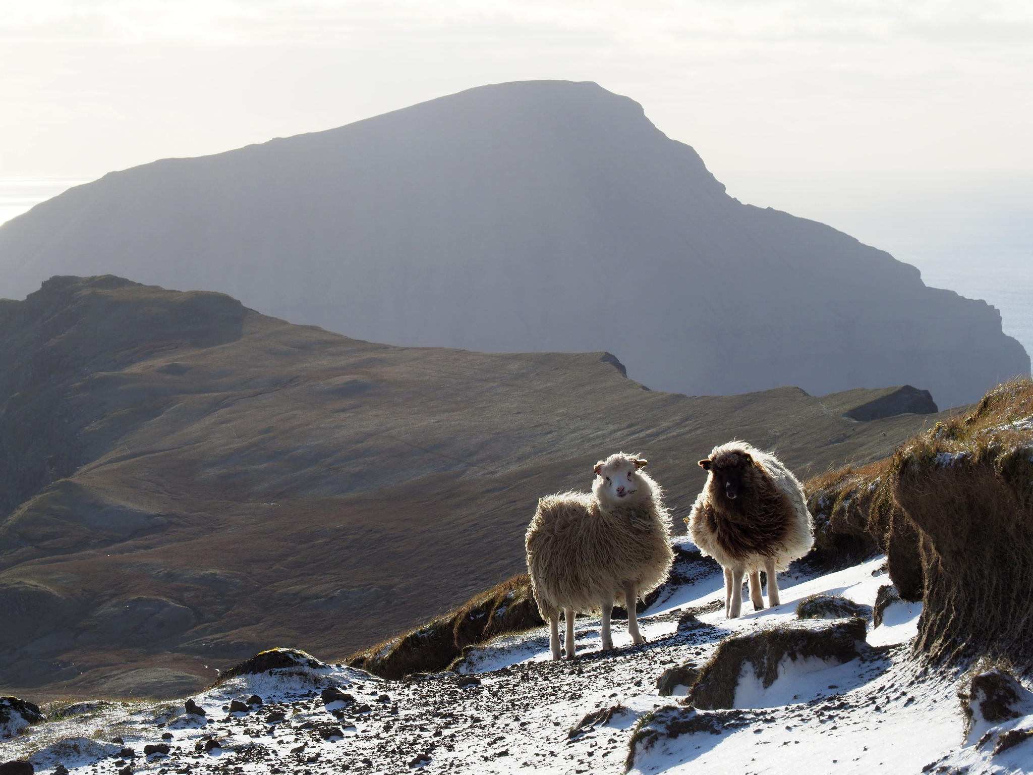
A
row of decent cairns lead me to next pass. On the other side is once again a
new world. This time with two sheep. The view includes Hestur, Koltur, Sandoy
and even the southernmost island Suðuroy is faintly visible. The sheep have
been busy making paths but none of them matches the lines on the screen. In a
situation where sun shines into my eyes is it not easy to separate cairns from
rocks that just stand upright. These are trolls and they troll hikers. I’m not
bothered much by such a tiny detail like a lost path. Just have to figure out
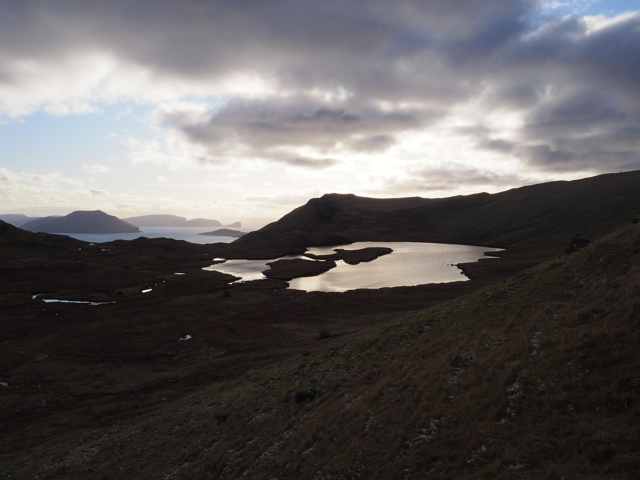
from where it is best to pass all the streams and lakes in the bottom of the
valley without swimming.
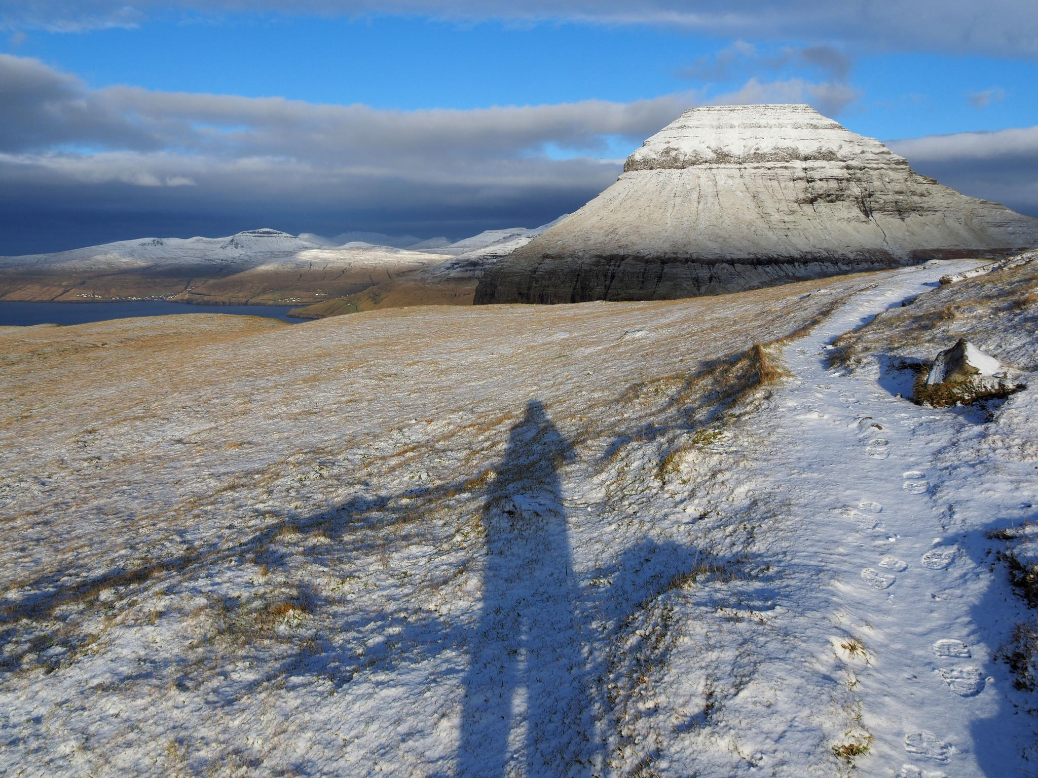
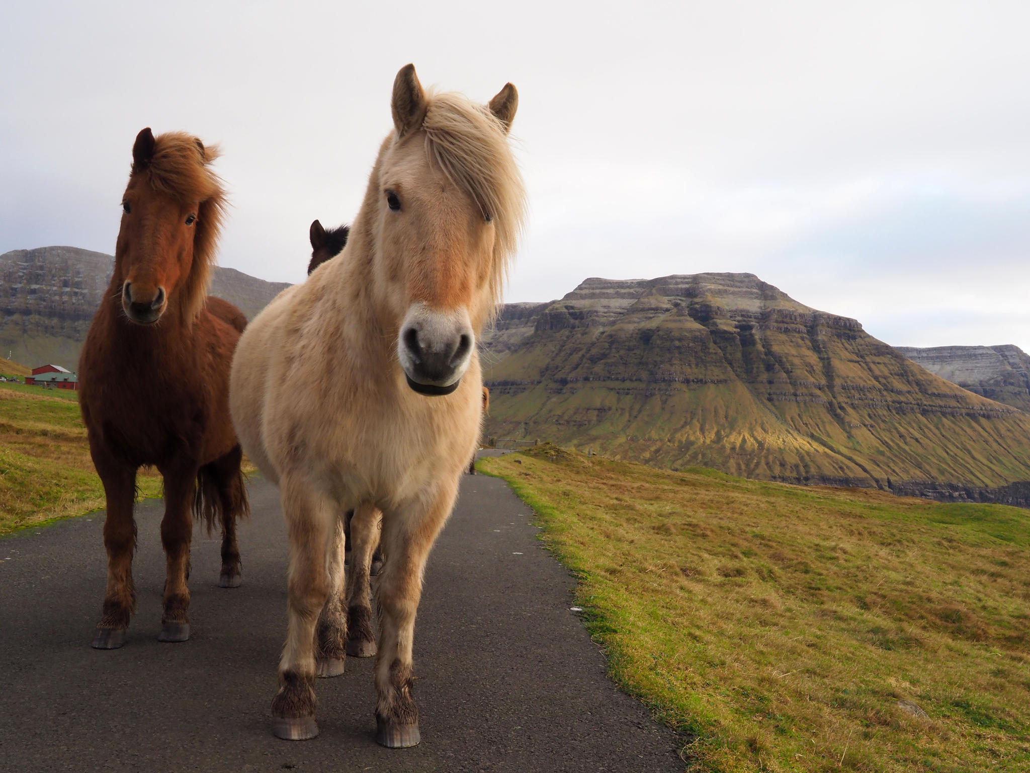
Over
the next edge is a house and house means road. After a descent a mud trail
leads to the road. On the road is a locked gate with a sign. The sign can be
read after climbing over the fence. It only says that fishing without a permit
is not allowed. Four horses approach me. This is Norðradalur and from here a
walk on the road is the quickest way to get back to the car. The sun
understands that memory card is getting full again and disappears in clouds.
The narrow mountain road is now covered with black ice. This 7 kilometer hiking
trail for some reason lasted for 19 kilometers.
Add a comment