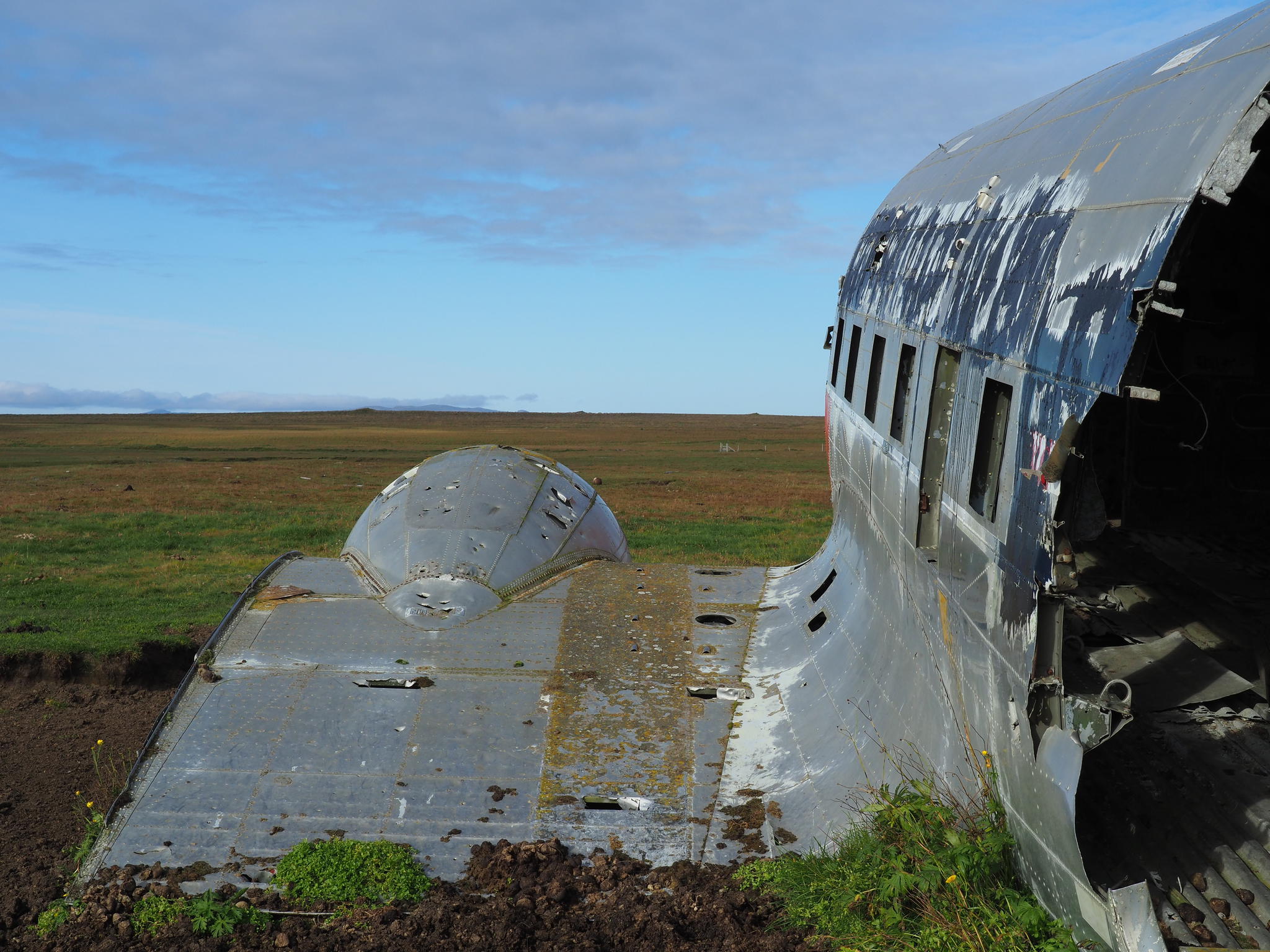
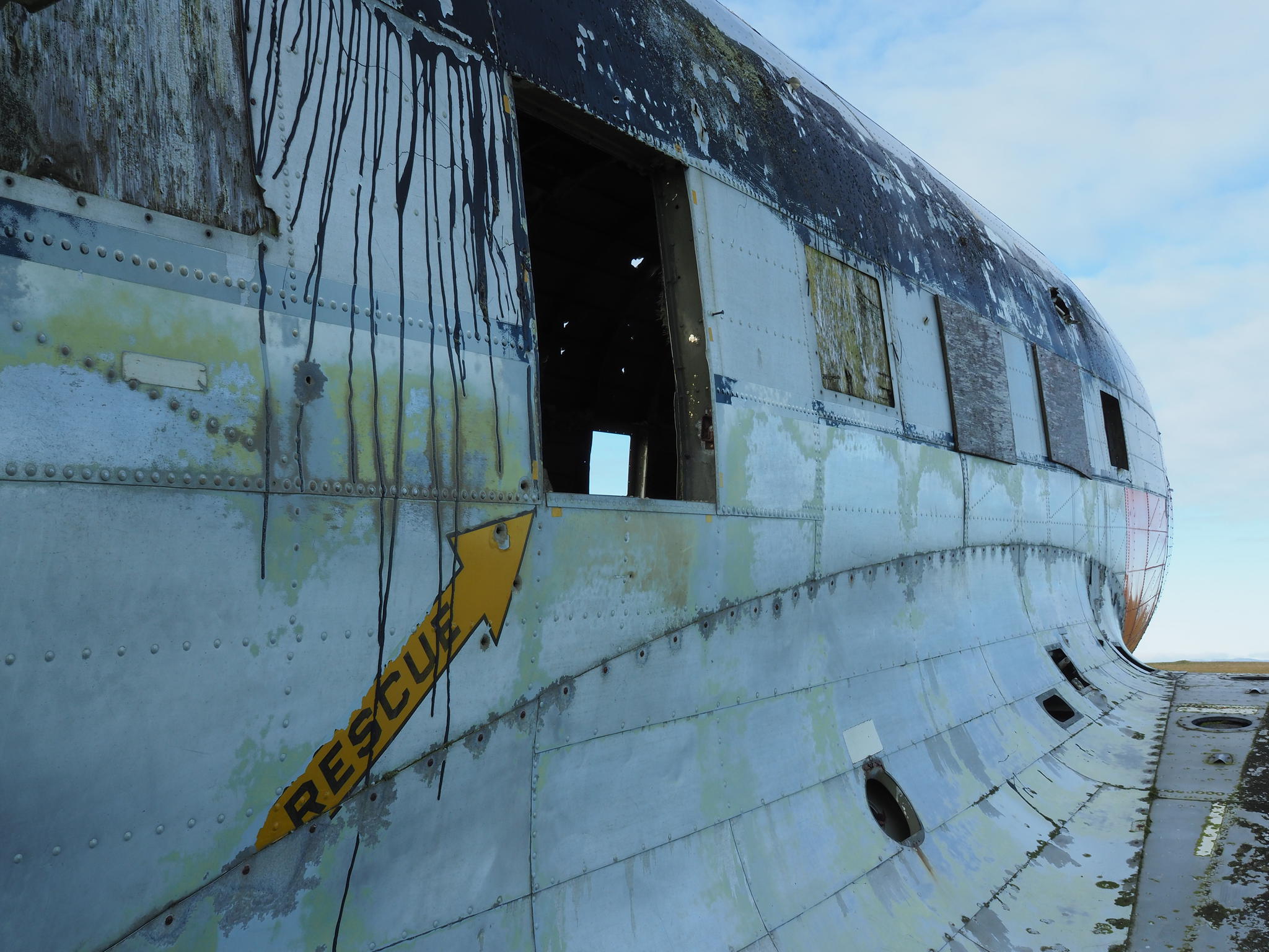
A farmer in Sauðanes has had the misfortune of
Americans dropping an airplane in 1969 on his land.
Now tourists with cameras trample over his land,
leave the gate open and give horses a chance to escape while the uninvited
guests knock on his door and demand coffee. Luckily for him the tourist season
is over for this year.
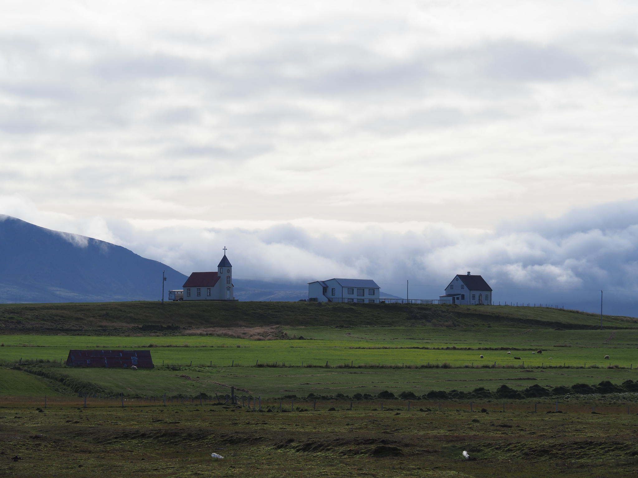
On the peninsula are two higher hills where to
climb. On top of one is a NATO radar and on the other remains of an American
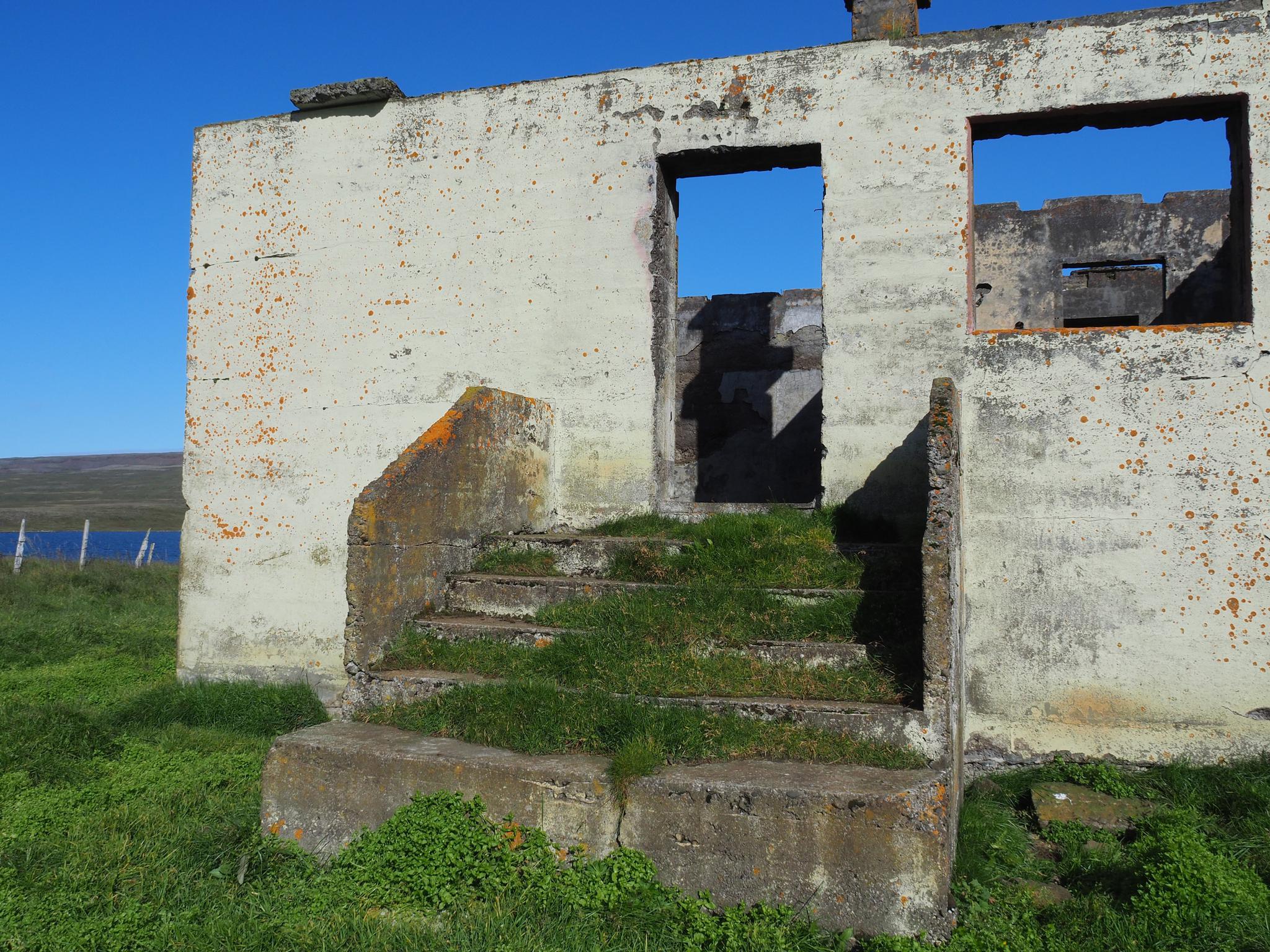
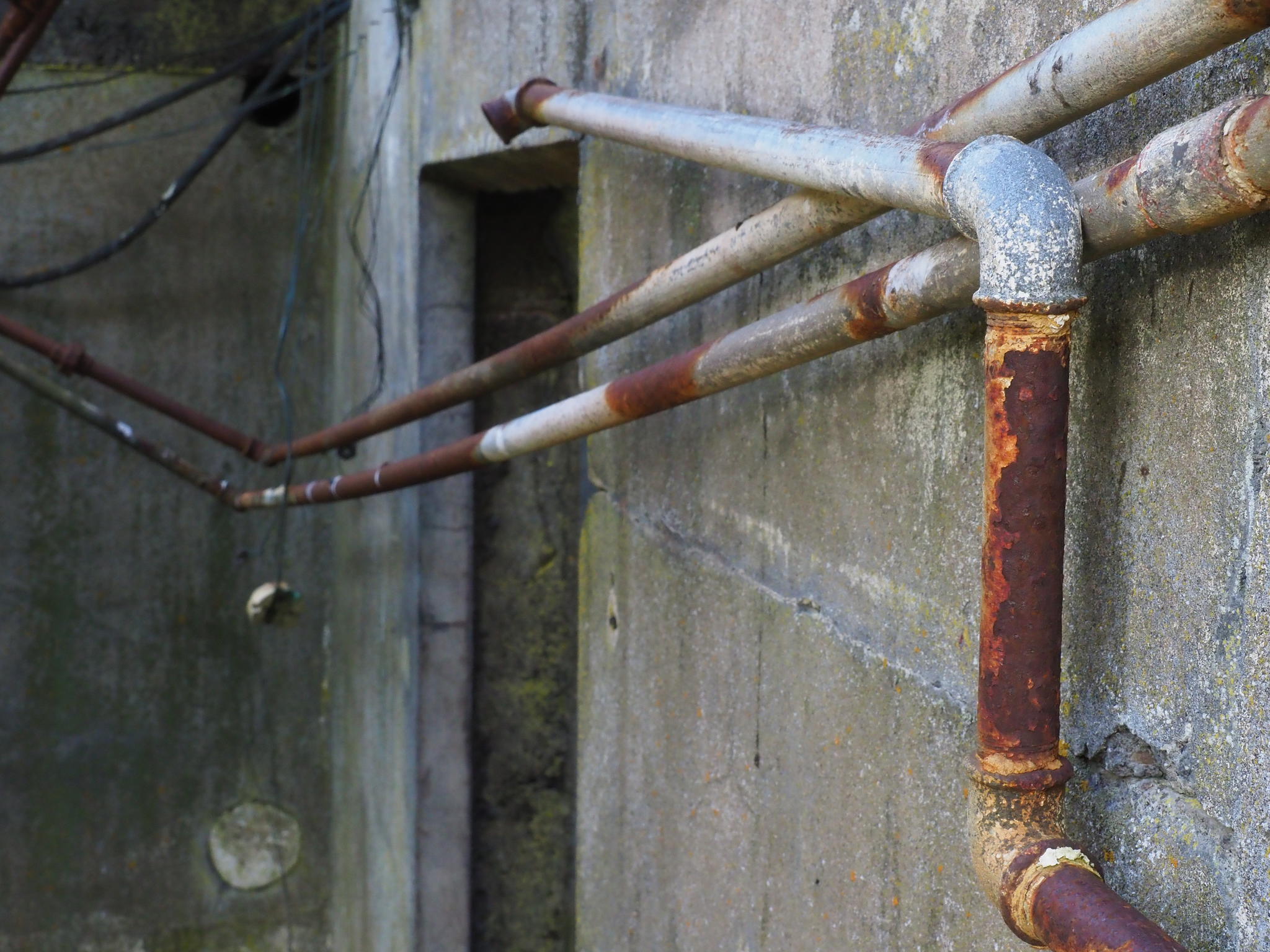
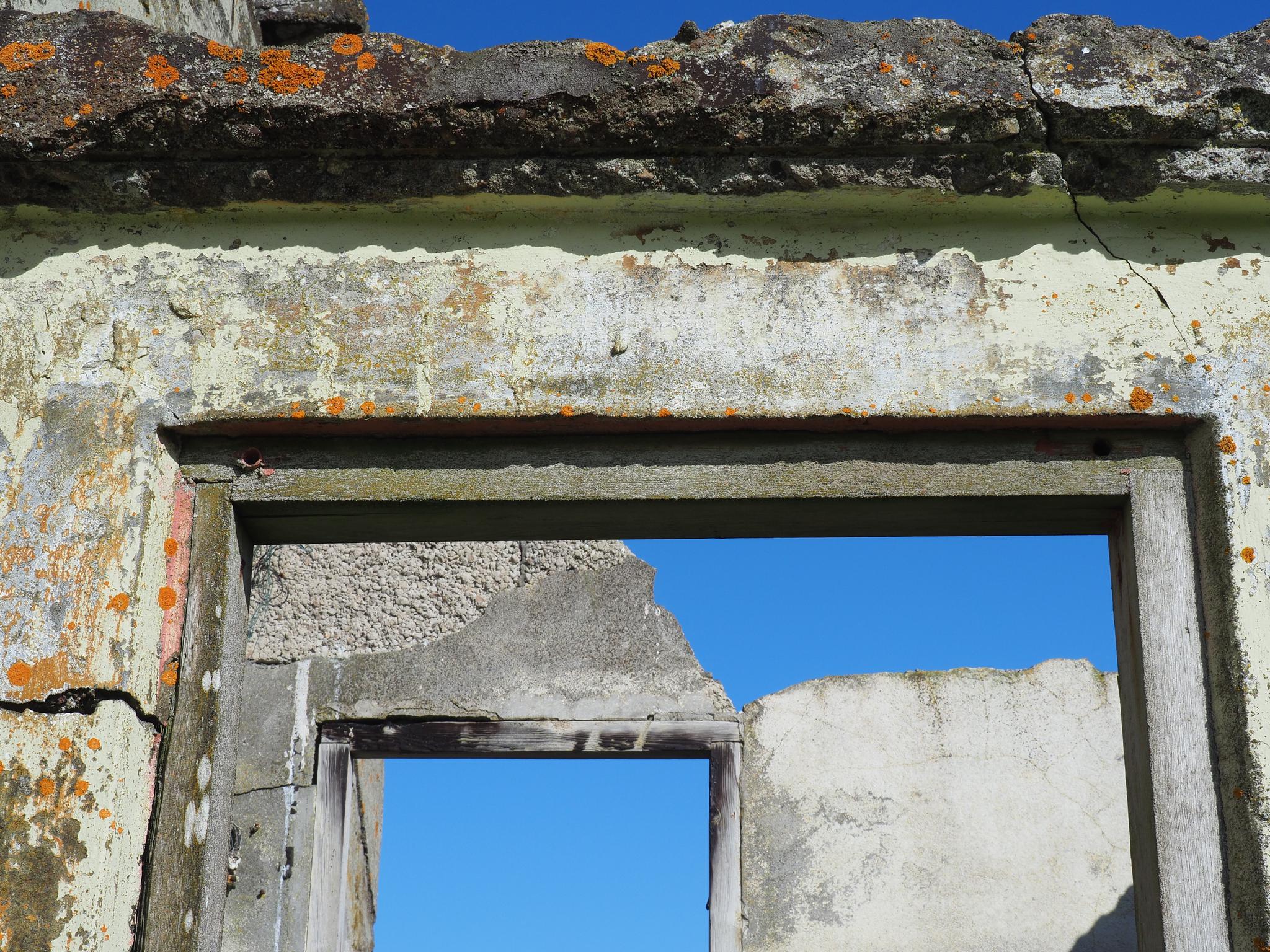
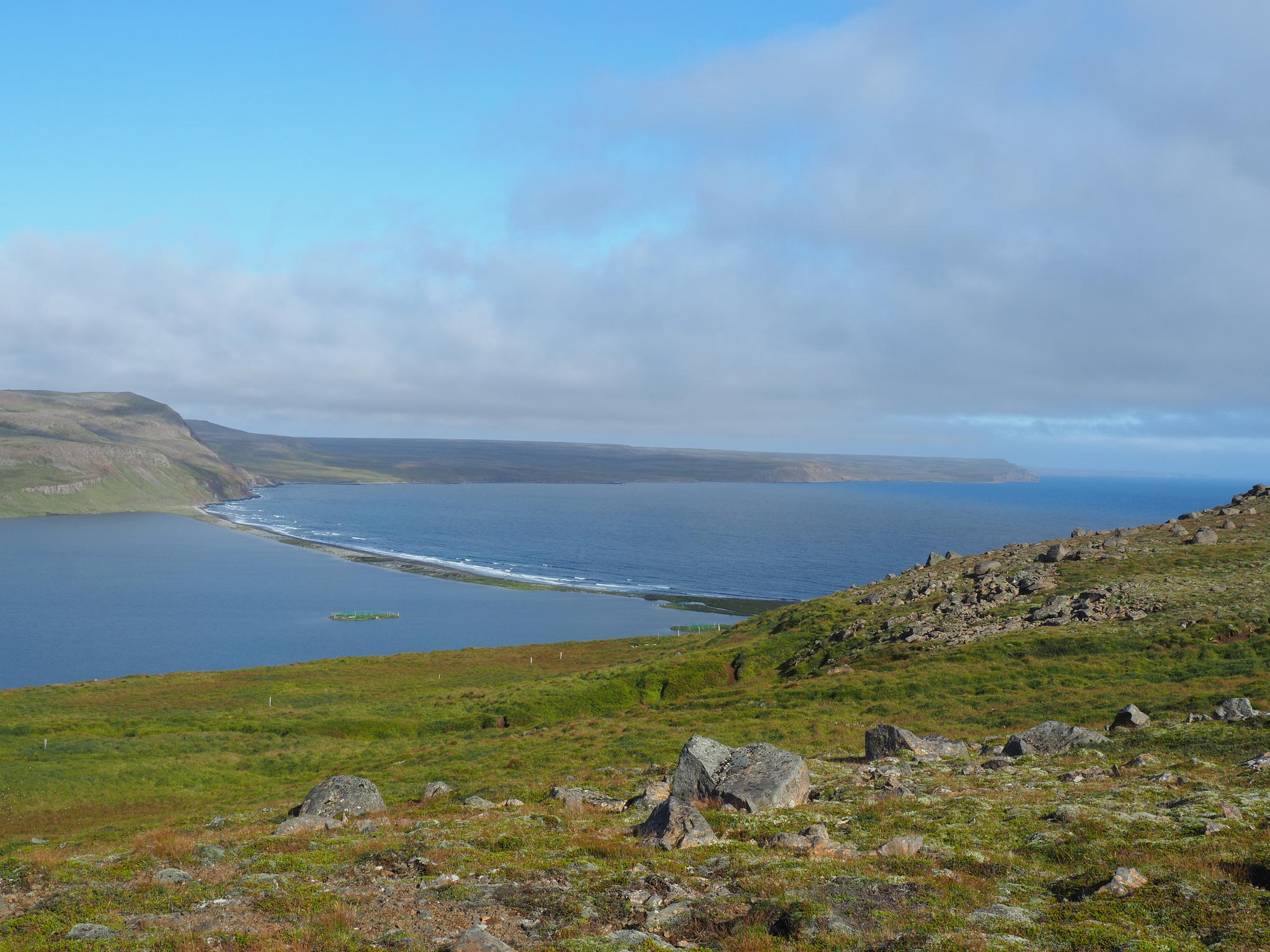
base. More tempting is to walk from Ártún to Fagranes and back. In Ártún is a
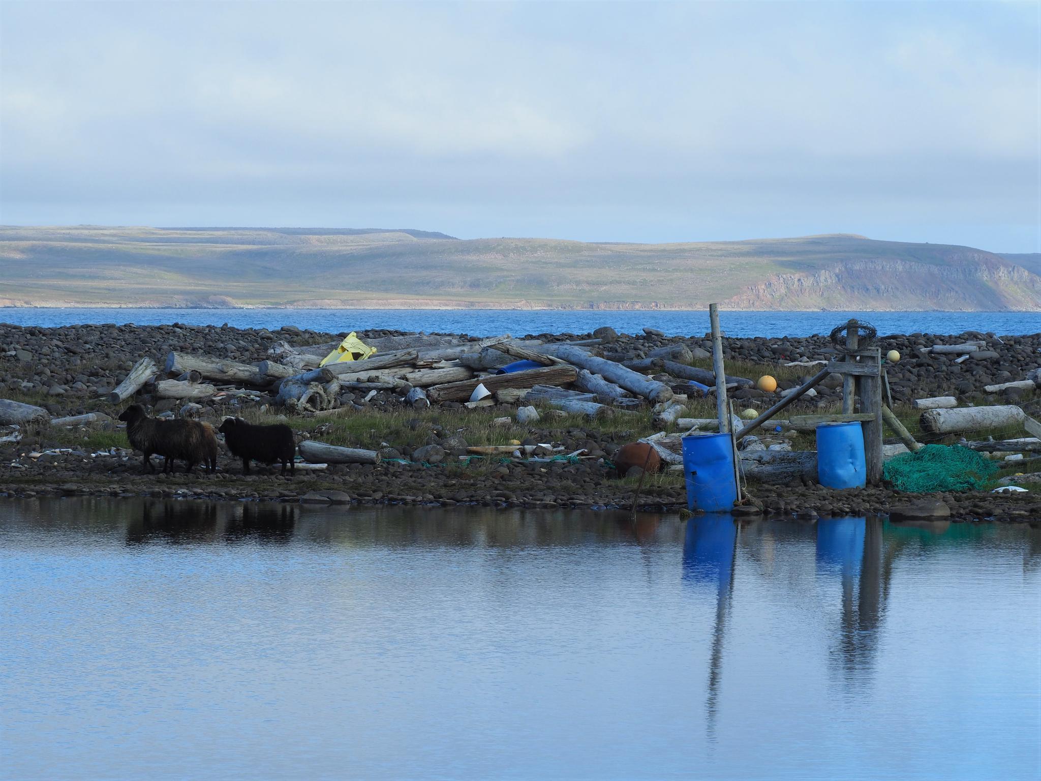
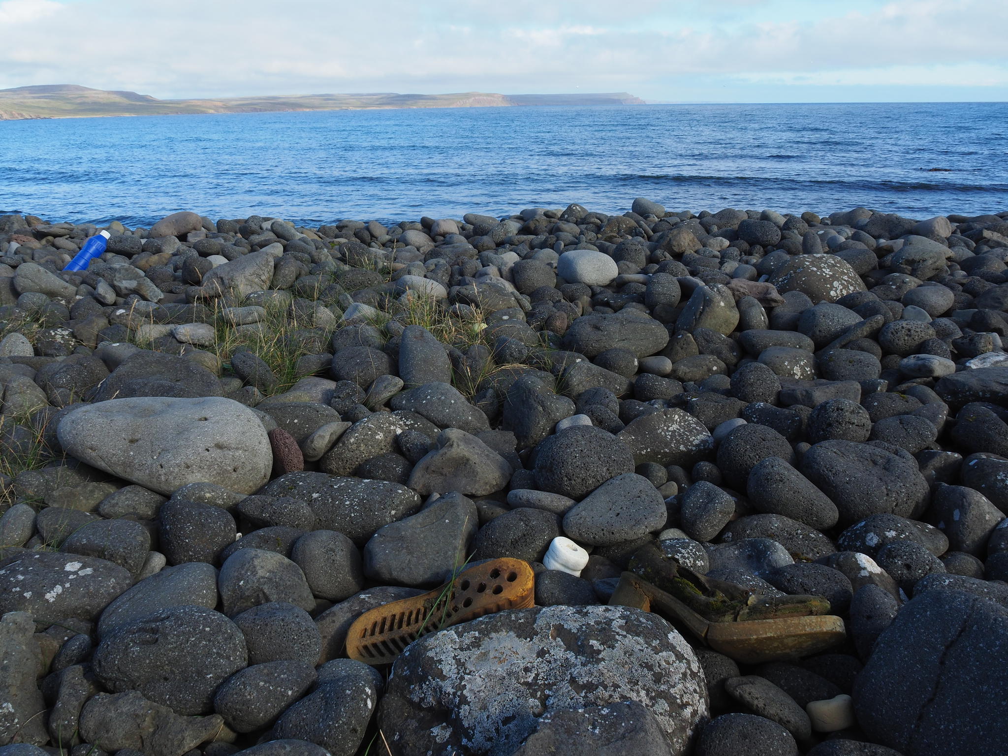
house that was abandoned in 1974 and on the shore of the lake various junk.
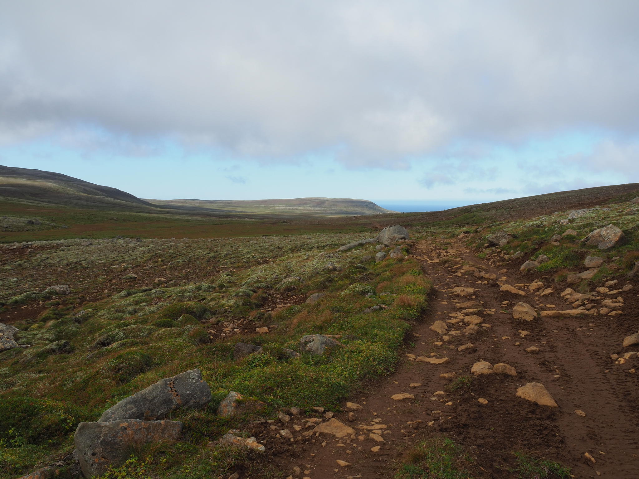
The map of the area promises many marked hiking
trails not mentioning the fact that there are no trail marks on the entire peninsula.
The beginning of the trail is visible on the map and later from the other side
when coming back. For start the landscape is thus negotiated jumping from turf
to turf, eating blackberries and scaring sheep. When the old car track is finally
found and Fagranes almost visible then the three hours of the promised two have already
passed and a grey cloud with white shreds drags on the slopes. Better to turn
back.
Sheep around here walk mainly in groups of three, seldom
in pairs. Maybe they think like Fred Jüssi that more than three is a crowd
where an individual dissolves.
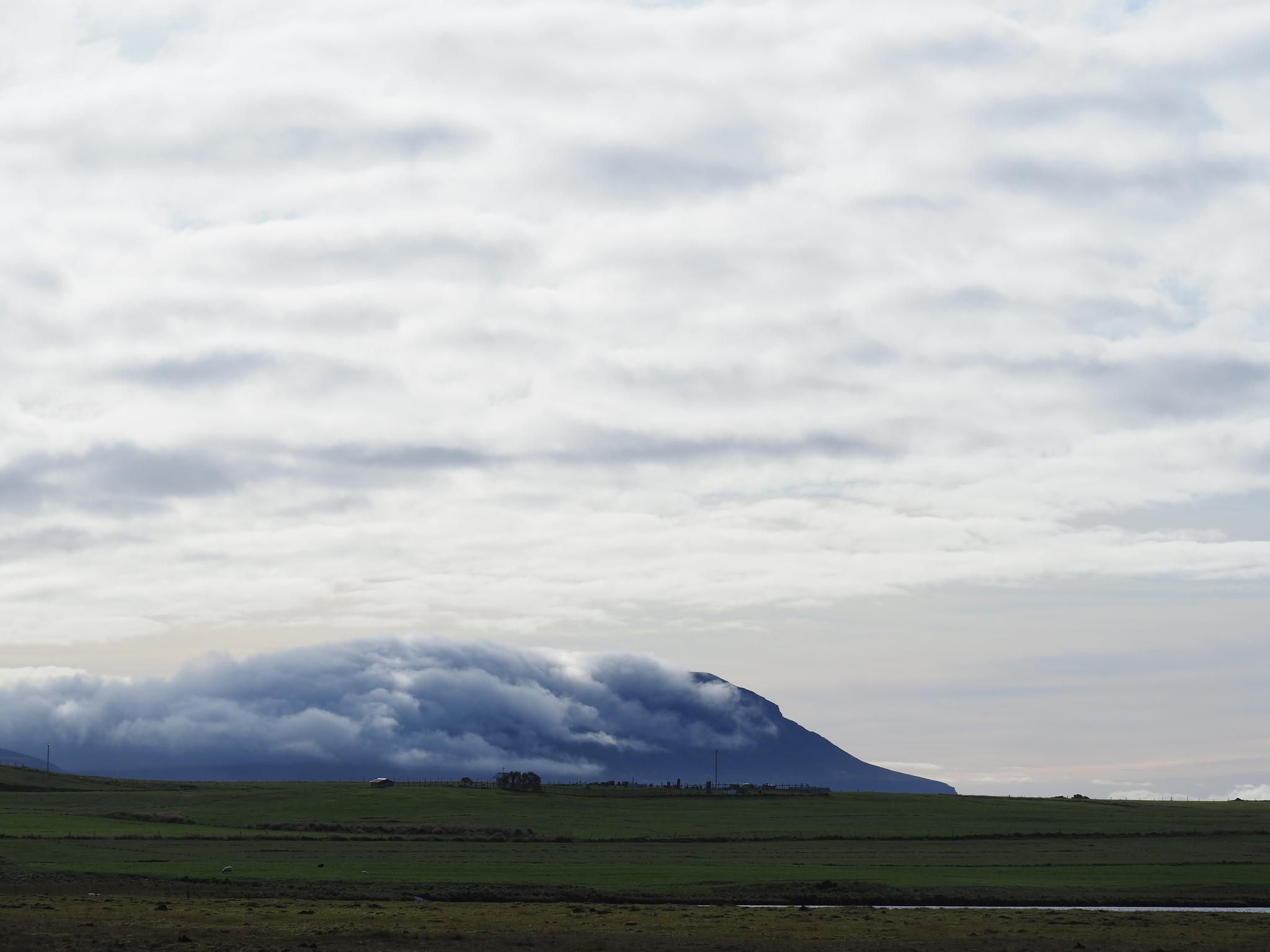
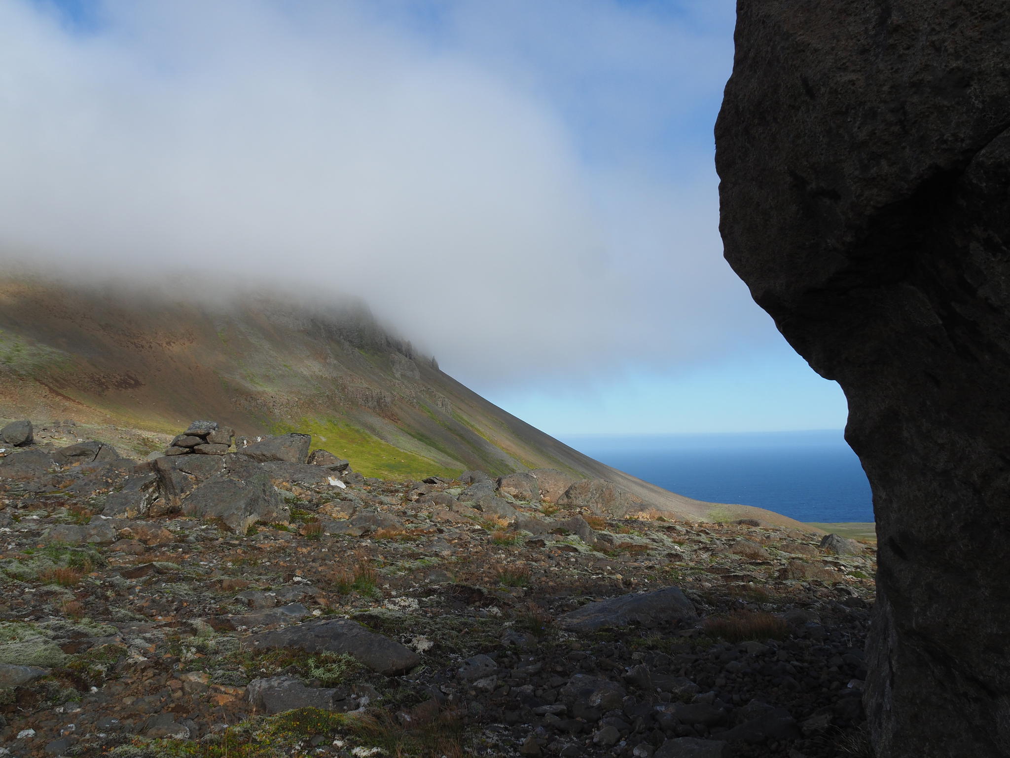
On the way back I see that wind has blown all the
clouds stuck on top of Gunnólfsvíkurfjall.

Add a comment