I wake on a light
show in the night.
Lightning inside the
cloud and thunder without a pause. Heavy rain starts later and then I fall
asleep again.
In the morning the river and my tent are in exactly the same places as they were in the evening. For some reason I decide not to follow the red marks but stick to my original plan to go over Vedmezhyk and Dovbushanka mountains.
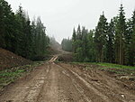
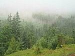
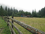
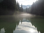
It is foggy, strips of clouds meander between the hills. A muddy road goes towards the mountains. A picnic table is where the road ends. Then there’s a house and a closed gate. That is a bit weird. I go through the gate, no-one at the house, just a dog who barks layzily. Then there are cows and a sign that clearly tells me not to continue. If I understand the Ukrainian correctly then this is some kind of nature reserve. Picking of flowers not allowed. I consider the situation. It would take a long time to go back and follow the other trail. The sign could have been where the two trails part because on the map this trail is indicated as a “recommended route” and nothing says it is a no-go area. The likelyhood of meeting anyone here is probably microscopic. So I take the risk, break some Ukrainian laws and go on. Don’t you do the same but follow the red route if you need to go from Bystrytsia to Tatariv. A camp site should be on Stoly pass.
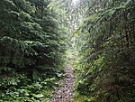
The trail starts to climb upwards, there are fresh footprints and bikeprints in the mud and some places where people have made fire. Either the reserve is a new thing or the locals don’t respect it either. I keep being alert if anyone comes but hear only birds.
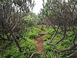
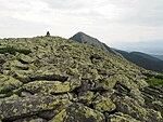
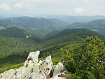
When the forest ends then I reach the pines. It takes a real effort to squeeze myself through and it continues for quite some distance. Then the big rocks follow. A cloud approaches and I know that the rocks will be very slippery when wet. But hurrying is also not a smart idea. I cannot count how many times I regret of not taking the other route. Now the only way down is over Dovbushanka. Here paradoxically often in order to get down one has to climb up. It drizzles a bit but then stops.
It takes a long time to reach the other end of the ridge. The way down is mostly unmarked and steep. Experience from Iceland has tought me to see footprints on the rock and I spot some crains.
Finally inside the forest again I suddenly hear voices. Two hikers going the other direction. They seem somehow muted, perhaps we are still in the forbidden territory because I have seen no signs on this side.
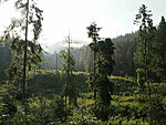
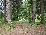
The descent is steep and should go to a picturesque meadow. I suppose the meadow is where there’s a campsite icon on my map. It’s not but someone else has also followed it and camped under some spruce trees. So I do the same. Use the river for washing, get water and hide in the tent. It thunders. I fall asleep for a while and later don’t understand if the thunder died away or passed without me waking up.
The usual dinner. Not many insects here which is nice.
Distance walked: 16,7 km.
Add a comment