The morning is clear as
if the thunder had washed the skies.
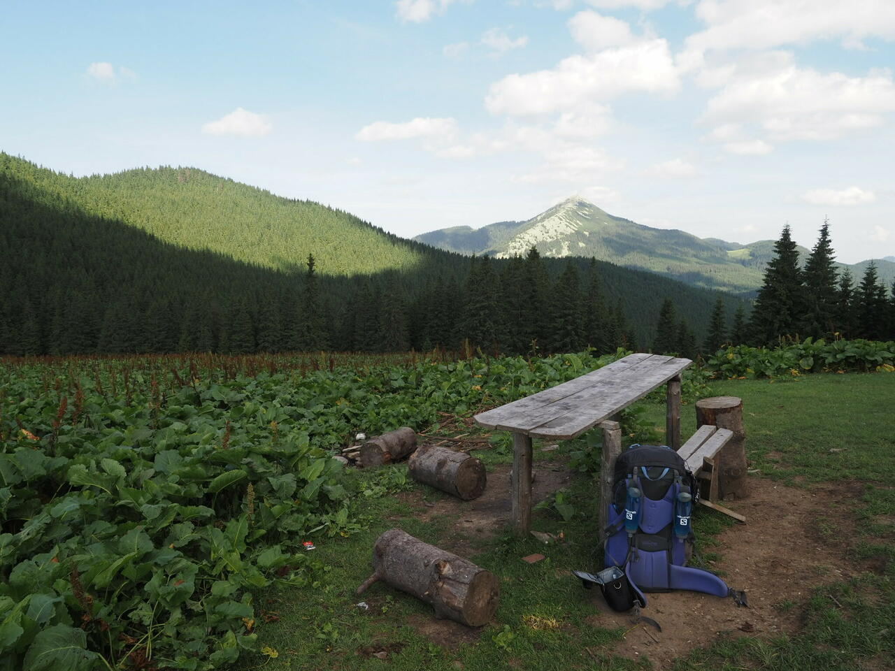
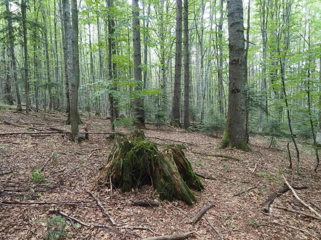
First I have to cross
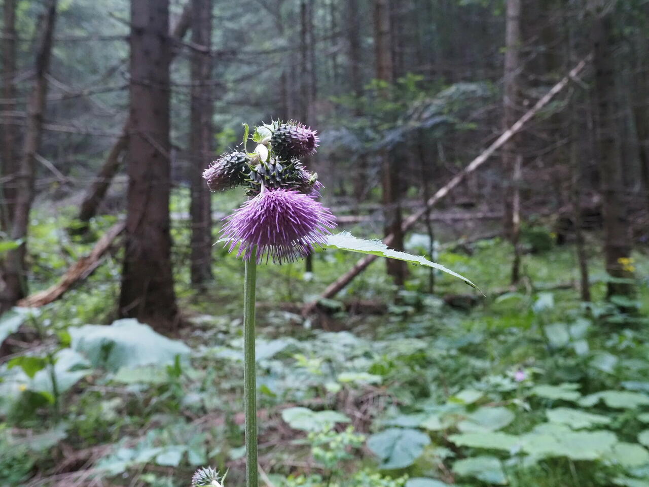
the river twice and then follow the barely visible trail through wet grass. It becomes
clearer once I go higher. An interesting experiment going on: which landscape
holds the trail longer.
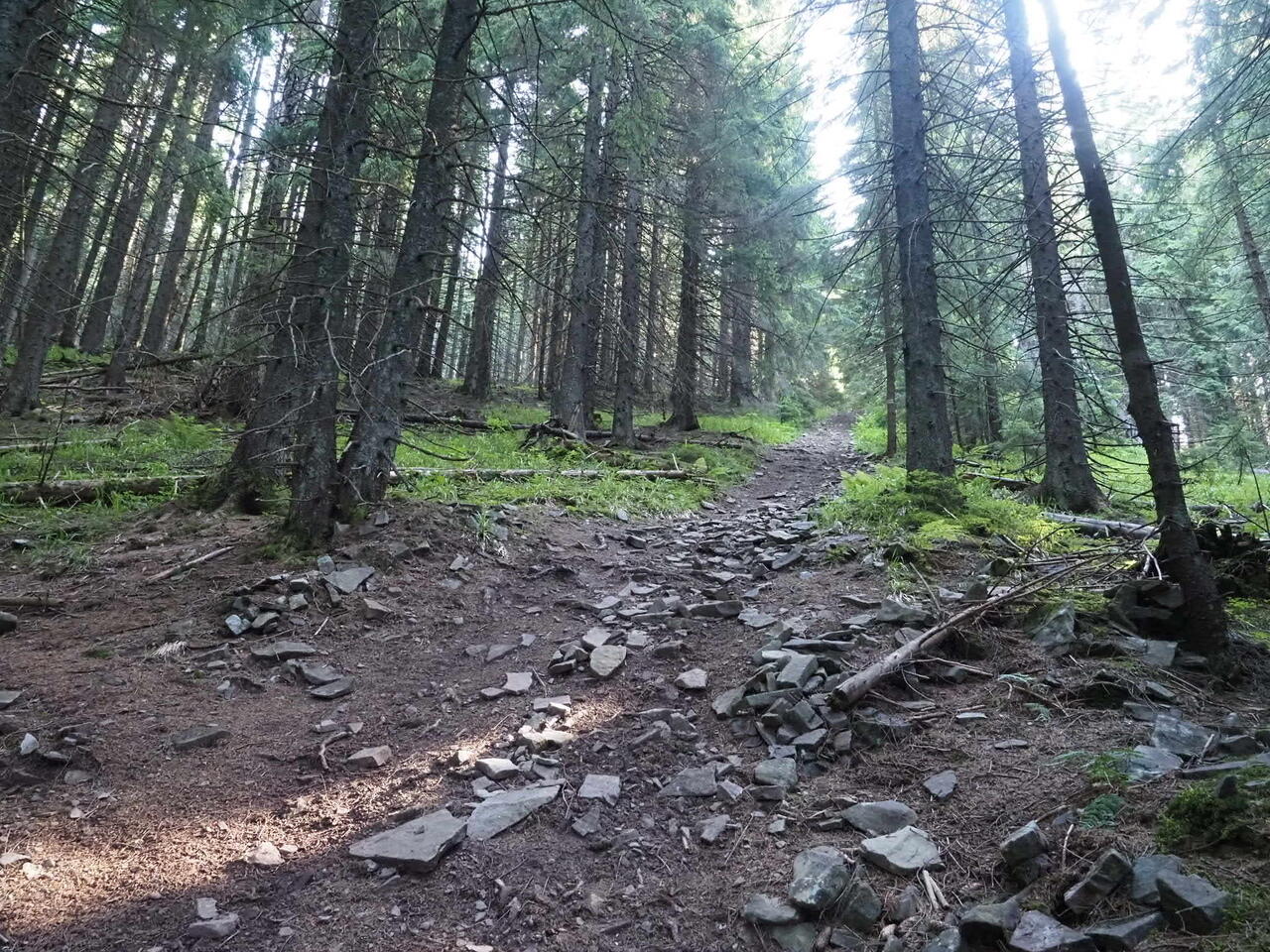
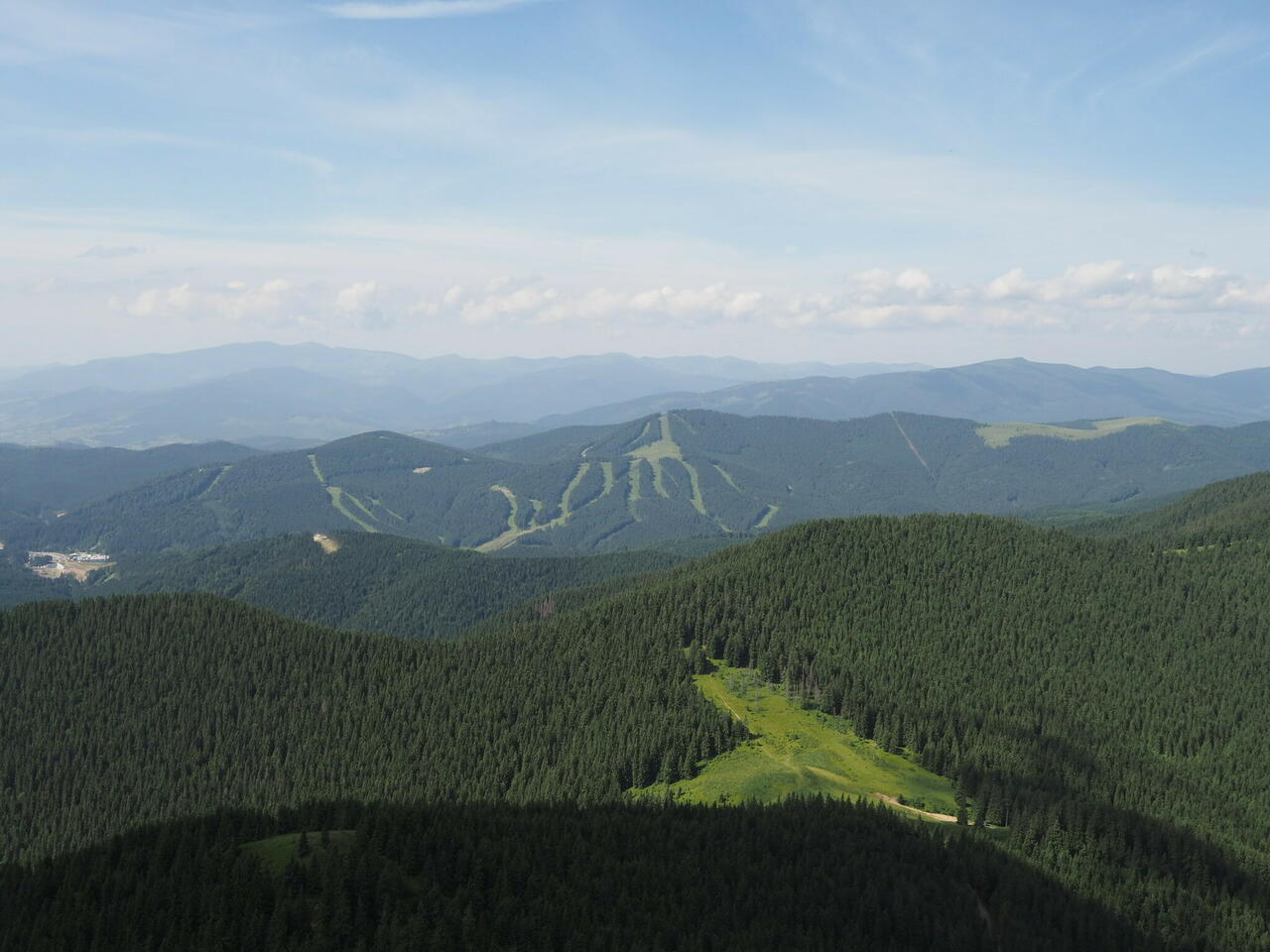
Soon I meet the red trail and am apparently out of the danger zone. Start to hear music and loudspeakers. Bukovel skiing area is right next to here.
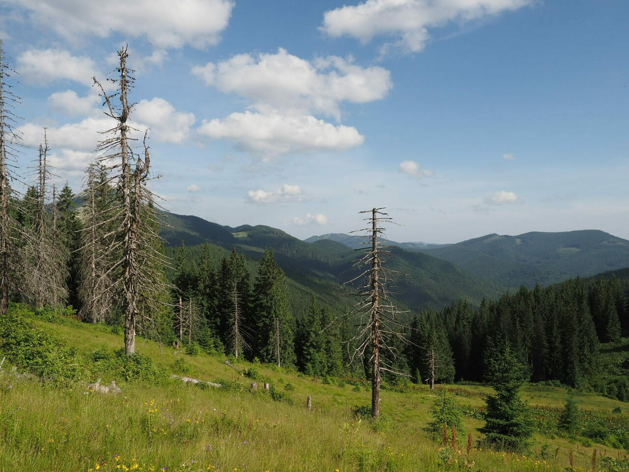
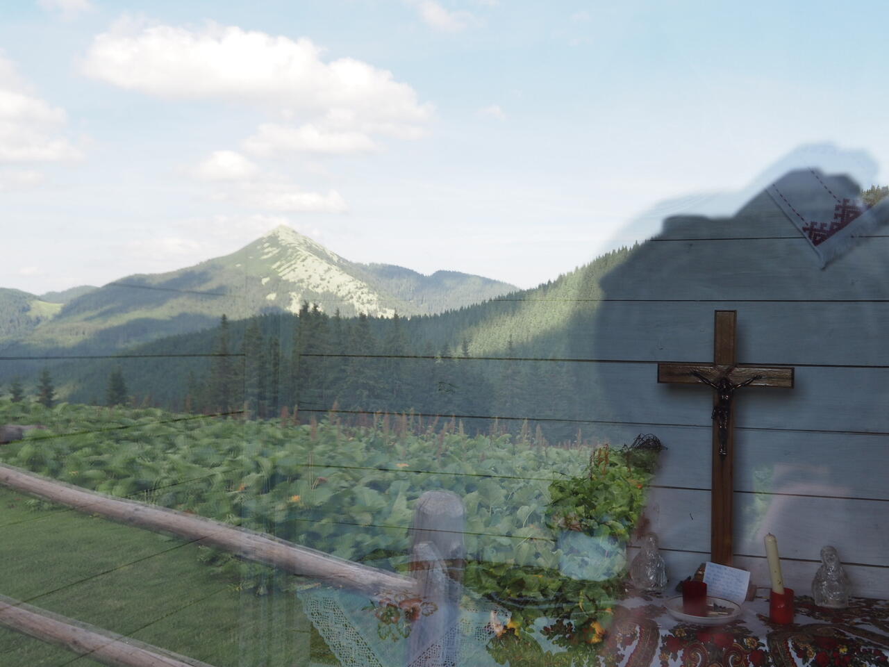
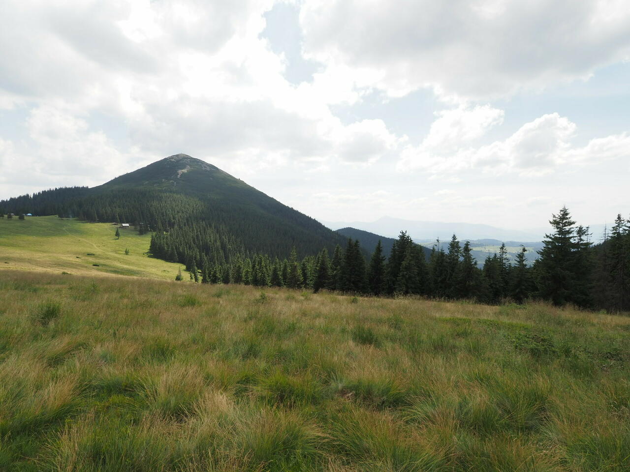
A couple of steep climbs to Malyi Horhan. A small chapel on a meadow with a view to Dovbushanka. Then more up to Syniak and further along the ridge. Hikers are on the move, a lot of them. It’s Saturday. Some carry huge packs. Well, somehow all the garbage has to get up here, right?
The view shows me many mountains that I have climbed and many more that I didn’t touch. Tired, the grey-yellow pattern of the rocks is starting to make me dizzy. It takes a long time going towards Khomiak and then there is a pasture between us. It means climbing way down and up after that. So I skip Khomiak and take a picture of him instead. Turn downwards from the meadow hoping to reach Tatariv easier that way. I might be wrong or might be right. The way down from the pasture is very steep and very long. Once down there’s a sign pointing to Zhenets waterfall. It should take 45 minutes to go there. Skip that as well. Judging by the cars parked along the road the waterfall is filled with people.
Some narrow tarmac road and then about 3 km along the highway. That’s terrible and I didn’t expect that. Not much room next to the road and Ukrainians are known for speeding and organizing multi-car crashes. Make it alive to the hotel.
A white clean building. Get to give all my dirty clothes for washing, have a thorough shower, eat a big dinner, drink beer. Wow. Behind the window is a mountain I don’t have to climb.
Distance walked: 23,1 km. Altogether 175 km. Through all of the Gorgany.
No blisters! Although consitions for blisters were good. Maybe because I aired my feet during every pause, maybe because I applied moisturising cream in the evenings.
I ”stole” the route from here: http://adventurecarpathians.com/trekking/expedition-across-wild-carpathians/. You might want to use their services but since it stated the trail would be clearly marked I saw no reason for a guide. The marking is generally good. I also had paper maps for South, Central and North Gorgany that left 2,5 days uncovered. Ukrainian online stores do not send items to Estonia so I got them from Austrian and French online bookshops. Sure these can be bought here in bookshops or tourist information centers as well. And then I found many GPS trails from internet that partly covered my intended route plus the rest of the trail network was visible on my GPS map.
Soon I meet the red trail and am apparently out of the danger zone. Start to hear music and loudspeakers. Bukovel skiing area is right next to here.
A couple of steep climbs to Malyi Horhan. A small chapel on a meadow with a view to Dovbushanka. Then more up to Syniak and further along the ridge. Hikers are on the move, a lot of them. It’s Saturday. Some carry huge packs. Well, somehow all the garbage has to get up here, right?
The view shows me many mountains that I have climbed and many more that I didn’t touch. Tired, the grey-yellow pattern of the rocks is starting to make me dizzy. It takes a long time going towards Khomiak and then there is a pasture between us. It means climbing way down and up after that. So I skip Khomiak and take a picture of him instead. Turn downwards from the meadow hoping to reach Tatariv easier that way. I might be wrong or might be right. The way down from the pasture is very steep and very long. Once down there’s a sign pointing to Zhenets waterfall. It should take 45 minutes to go there. Skip that as well. Judging by the cars parked along the road the waterfall is filled with people.
Some narrow tarmac road and then about 3 km along the highway. That’s terrible and I didn’t expect that. Not much room next to the road and Ukrainians are known for speeding and organizing multi-car crashes. Make it alive to the hotel.
A white clean building. Get to give all my dirty clothes for washing, have a thorough shower, eat a big dinner, drink beer. Wow. Behind the window is a mountain I don’t have to climb.
Distance walked: 23,1 km. Altogether 175 km. Through all of the Gorgany.
No blisters! Although consitions for blisters were good. Maybe because I aired my feet during every pause, maybe because I applied moisturising cream in the evenings.
I ”stole” the route from here: http://adventurecarpathians.com/trekking/expedition-across-wild-carpathians/. You might want to use their services but since it stated the trail would be clearly marked I saw no reason for a guide. The marking is generally good. I also had paper maps for South, Central and North Gorgany that left 2,5 days uncovered. Ukrainian online stores do not send items to Estonia so I got them from Austrian and French online bookshops. Sure these can be bought here in bookshops or tourist information centers as well. And then I found many GPS trails from internet that partly covered my intended route plus the rest of the trail network was visible on my GPS map.

Add a comment